

New York map
Manhattanville map
A printable two-page map of Manhattanville (Manhattan, New York), drawn by VisitorFun from OpenStreetMap. Page two is the street index: every street on the sheet with its grid square, the same list as below.
Open the map (PDF, US Letter)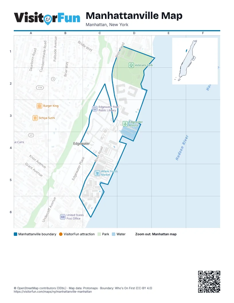
Street index of Manhattanville
Each street on the sheet and the grid squares it crosses.
- Hudson TerraceC2, C3
- River RoadC2, C3, D3, C4, B5, C5, B6
- State Route 5C2, C3
- Undercliff AvenueC2, C3, B4
- Valley TerraceC2, C3
- Adelaide PlaceC3
- Beverly PlaceC3
- Dempsey AvenueC3, C4
- Hudson AvenueC3
- Panorama DriveC3, C4
- Columbia TerraceB4, C4
- Hilliard AvenueB4, C4
- Mariners CoveC4, D4
- Tower DriveC4, D4
- Grand Cove WayB5, C5, C6
- Garden PlaceB6
Places on the map
- American Legion Hall
- Chase
- Community Center
- Edgewater Free Public Library
- Edgewater Marina
- Grand Cove Marina
- Hudson Plaza
- Lukoil
- Veterans Park
- Whole Foods Market
© OpenStreetMap contributors (ODbL) · Map data: Protomaps · Boundary: Who's On First (CC-BY 4.0)