

Texas map
Beaumont-Port Arthur Metro Area map
The sheet's index lists 9 highways; I-10, US 69 and US 90 cross the most grid squares. Things to do inside the boundary: Dishman Art Museum, McFaddin-Ward House and Museum of the Gulf Coast. Also on it: Beaumont, Bridge City and Lumberton.
Open the map (PDF, US Letter)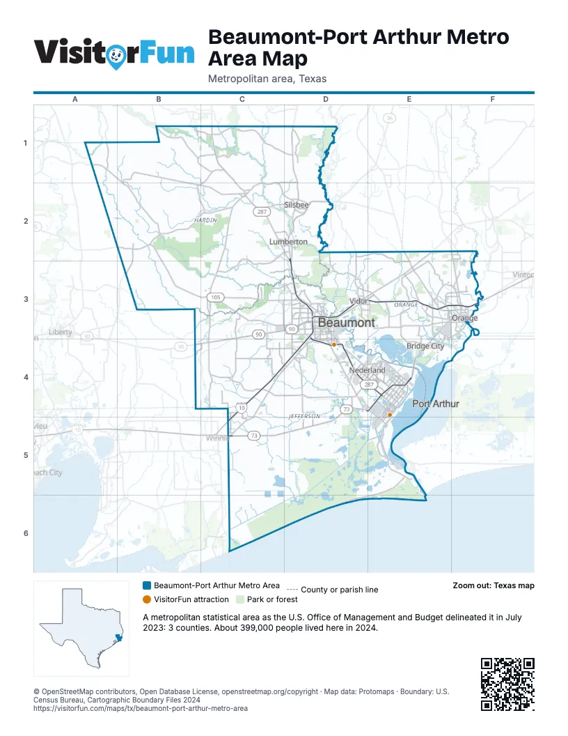
Highway index of Beaumont-Port Arthur Metro Area
Each highway on the sheet and the grid squares it crosses.
- I-10C4, C5, D3, D4, E3, F3
- US 69C1, C2, D2, D3, D4, E4
- US 90B4, C3, C4, D3, E3, F3
- US 96D2, D3, D4, E4
- US 287C1, C2, D2, D3, D4, E4
- TX 73C5, D4, D5, E4
- TX 82D4
- TX 87E4
- TX 105B2, B3, C3, D3
Things to do on the Beaumont-Port Arthur Metro Area map
Places on the map
- Beaumont
- Bridge City
- Lumberton
- Nederland
- Orange
- Port Arthur
- Silsbee
- Vidor
© OpenStreetMap contributors, Open Database License, openstreetmap.org/copyright · Map data: Protomaps · Boundary: U.S. Census Bureau, Cartographic Boundary Files 2024