

Minnesota road map
Edge of the Wilderness map
The Edge of the Wilderness has been a National Scenic Byway since 1996, named for its natural qualities: about 47 miles in Minnesota. Towns along it: Grand Rapids, Bigfork and Effie.
Open the map (PDF, US Letter)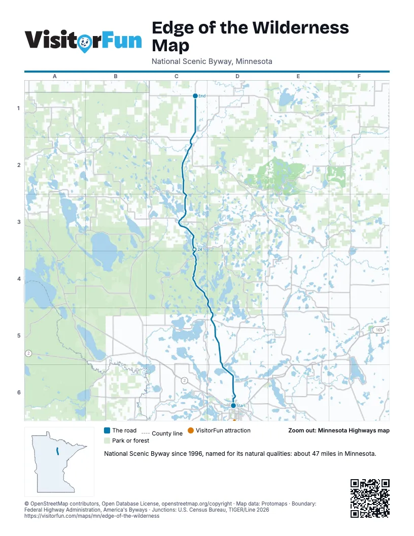
Towns along the Edge of the Wilderness
In mile order, with the grid square of each.
- Grand Rapidsmile 0, D6
- Bigforkmile 39, C2
- Effiemile 46, C1
© OpenStreetMap contributors, Open Database License, openstreetmap.org/copyright · Map data: Protomaps · Boundary: Federal Highway Administration, America's Byways · Junctions: U.S. Census Bureau, TIGER/Line 2026