

Sport & Outdoor
IconicDeath Valley National Park
$25–$50Drive a below-sea-level desert basin of salt flats, sand dunes, badlands and snow-capped peaks.
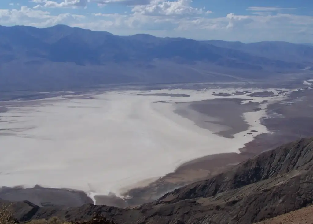
Photo: HappyJake, CC BY 3.0, via Wikimedia Commons. Cropped and resized.
Badwater Basin is a sightseeing stop in Furnace Creek, CA. Cost: $25 to $50. Hiking not advised after 10 am in summer.
Badwater Road, 17 miles south of Furnace Creek · Furnace Creek, CA
Badwater Basin in Death Valley National Park is the lowest point in North America, 282 feet below sea level. An accessible ramp leads to a wooden boardwalk beside a small pool that is home to a snail found only here, and from there you can walk out onto salt flats that cover nearly 200 square miles and form geometric polygons. Look up at the Black Mountains behind you to spot the sea level sign high on the cliff. The National Park Service advises against hiking here after 10 am in summer.
The closest stops to Badwater Basin, ordered by straight-line distance.