


Sightseeing
Outdoor AdventureBlackhawk Waterways
FreeThe official Illinois convention and visitors bureau promoting Carroll, Lee, Ogle and Whiteside counties in northwest Illinois.
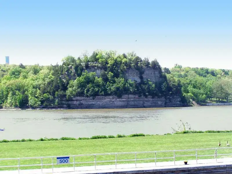
Photo: Chris Light, CC BY-SA 3.0, via Wikimedia Commons. Cropped and resized.
Starved Rock State Park is an outdoor activity in Oglesby, IL. Cost: free.
2678 East 873 Road · Oglesby, IL
Starved Rock State Park covers 2,630 acres along the south bank of the Illinois River, cut by 18 deep canyons. More than 13 miles of hiking trails lead to them, and French, LaSalle, Ottawa and St. Louis canyons have the most notable waterfalls. In winter, many of the falls freeze into ice falls. You can also camp, picnic, join interpretive programs at the visitor center, or stay at Starved Rock Lodge, built by the Civilian Conservation Corps in the 1930s.
The closest stops to Starved Rock State Park, ordered by straight-line distance.