Sightseeing
Face Rock State Scenic Viewpoint
Check pricesCoastal viewpoint on Oregon's south coast where an offshore rock shows a face-like outline tied to a local legend.


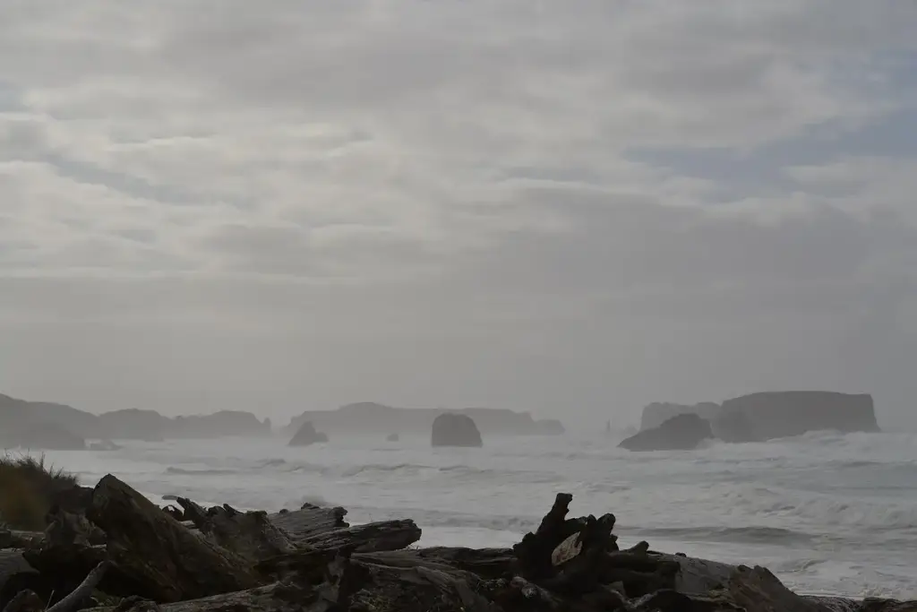
Photo: Visitor7, CC BY-SA 3.0, via Wikimedia Commons. Cropped and resized.
A coastal state natural area with several beach access points along Beach Loop Road south of Bandon, Oregon.
Bandon, OR
Bandon State Natural Area is a group of beach access spots spread along Beach Loop Road near the town of Bandon on the southern Oregon Coast. Visitors can reach the sand at China Creek, Devils Kitchen, and Bandon Wayside, though each spot offers different parking room. The park is managed by Oregon State Parks and sits along the route of the Oregon Coast Trail. Beach camping is not allowed between Bandon and Floras Lake, and drones are prohibited in the area.
The closest stops to Bandon State Natural Area, ordered by straight-line distance. A few more like it, plus some different kinds of fun so you can build a full day.
Coastal viewpoint on Oregon's south coast where an offshore rock shows a face-like outline tied to a local legend.
3.5 mi awaySwitch it up: Sightseeing
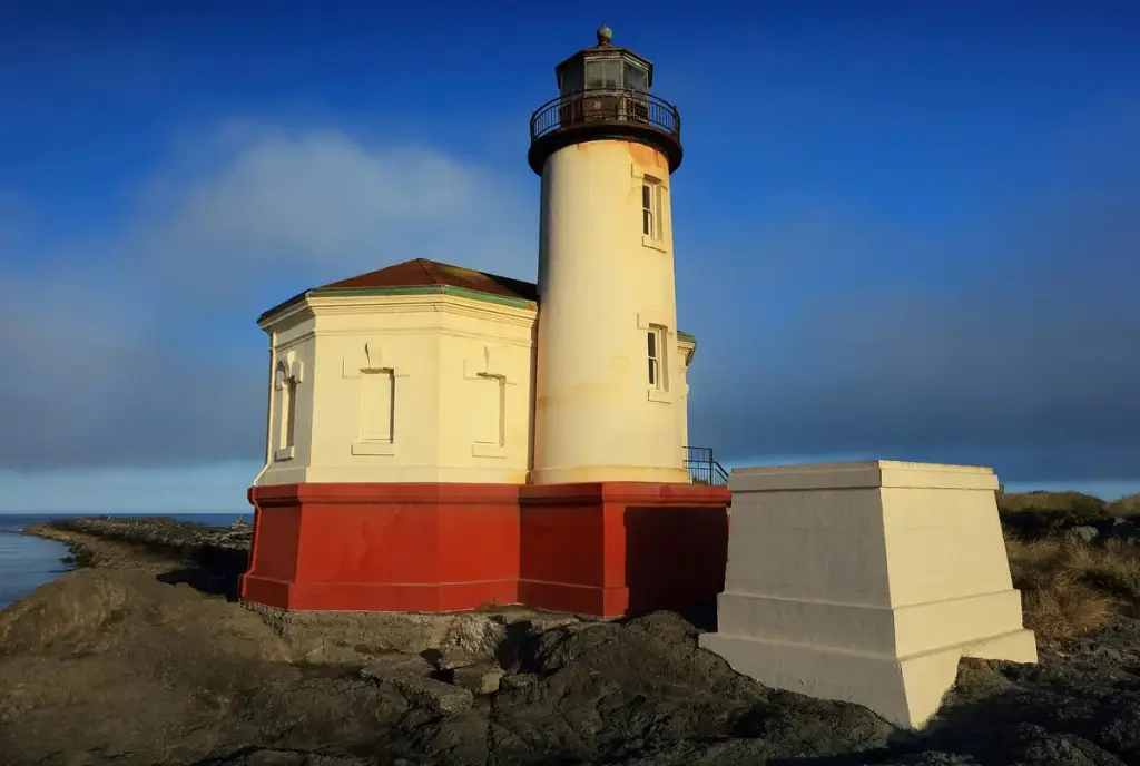
A historic lighthouse at the meeting point of the Coquille River and the Pacific, within Bullards Beach State Park near Bandon.
4.7 mi awaySwitch it up: Sightseeing
Coastal state park at the Coquille River mouth with beach access, trails, a horse camp, and a historic lighthouse.
7.0 mi awayMore like this
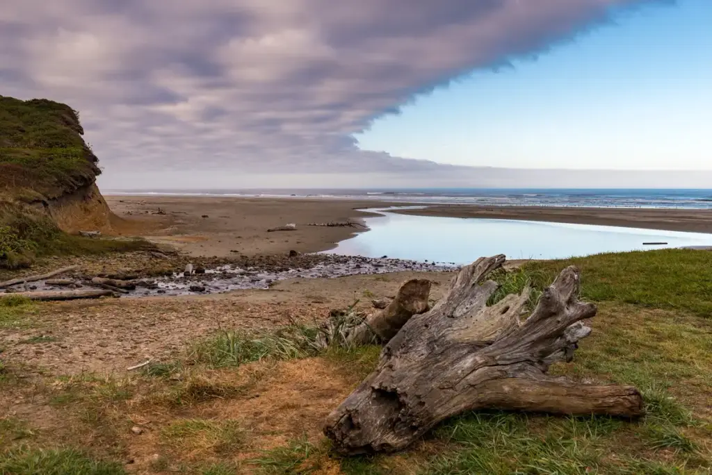
A state-managed beach access point on Oregon's south coast, known for long stretches of open sand and agate hunting.
13 mi awayMore like this
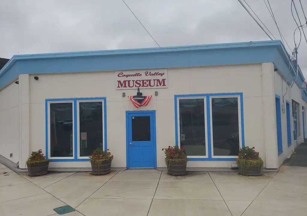
A local history museum in Coquille that collects and displays artifacts and information about the Coquille Valley and its people.
15 mi awaySwitch it up: Museums
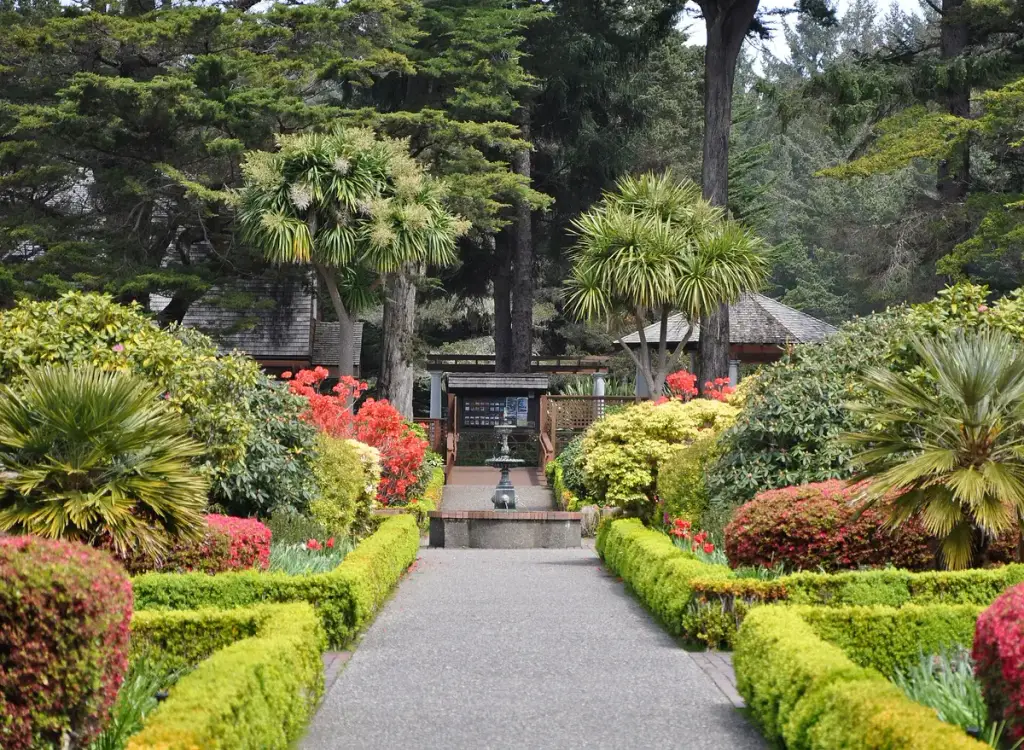
Coastal state park on craggy cliffs south of Coos Bay, known for a formal garden on a former timber baron estate and winter whale watching.
19 mi awayMore like this