

Hawaii road map
Hawaii highway map
4 Interstate routes run about 52 miles in Hawaii, each on a sheet of its own. The sheet's index lists HI 78 and HI 93. Towns on it: Hilo, Honolulu and Kailua-Kona.
Open the map (PDF, US Letter)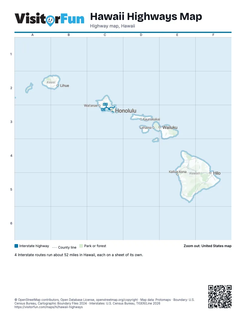
Road maps of Hawaii
3 road maps: each Interstate and byway on a sheet of its own.
Highway index of Hawaii
Each highway on the sheet and the grid squares it crosses.
- HI 78C3
- HI 93C3
Places on the map
- Hilo
- Honolulu
- Kailua-Kona
- Kaunakakai
- Lahaina
- Lihue
- Waiʻanae
- Wailuku
© OpenStreetMap contributors, Open Database License, openstreetmap.org/copyright · Map data: Protomaps · Boundary: U.S. Census Bureau, Cartographic Boundary Files 2024 · Interstates: U.S. Census Bureau, TIGER/Line 2026