

Illinois map
Champaign County map
About 212,374 people live here (Census Bureau, 2024 estimate). Also on it: Arbour Meadows, Ashland Park and Beringer Commons. 55 smaller maps sit inside it.
Open the map (PDF, US Letter)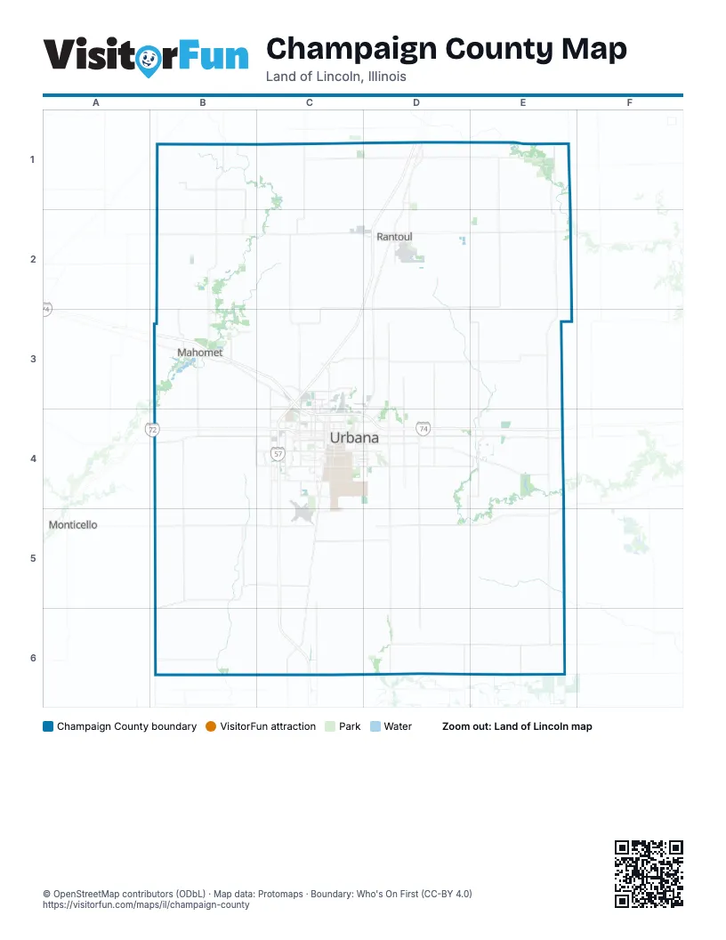
Places on the map
- Arbour Meadows
- Ashland Park
- Beringer Commons
- Bondville
- Boulder Ridge
- Broadlands
- Buffalo Trace Prairie
- Champaign
- Champaign County
- Cherry Hills
- Country Ridge
- Crystal Lake Park
- Devonshire
- Devonshire South
- Dodds Park
- Downtown
- Fieldstone
- Fisher
- Garden Hills
- Gifford
- Golfview Village
- Historic East Urbana
- Homer
- Homer Lake
- I-57/I-74 Interchange Project
- Ironwood
- Ironwood West
- Ivesdale
- Kraft Heinz
- Lake of the Woods
- Lake of the Woods Golf Course
- Landscape Recycling Center
- Liberty on the Lake
- Lierman
- Lincolnshire
- Lincolnshire Fields
- Longview
- Ludlow
- Mahomet
- Market Place Shopping Center
Next to Champaign County
- Monticello
© OpenStreetMap contributors (ODbL) · Map data: Protomaps · Boundary: Who's On First (CC-BY 4.0)