

Ohio map
Richland County map
About 124,853 people live here (Census Bureau, 2024 estimate). The sheet's index lists Martin Luther King Jr. Freeway. Things to do inside the boundary: Ohio State Reformatory.
Open the map (PDF, US Letter)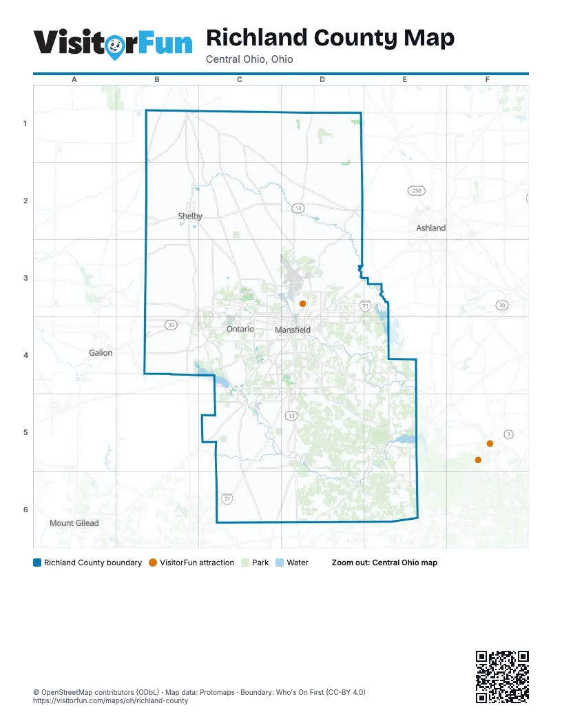
Street index of Richland County
Each street on the sheet and the grid squares it crosses.
- Martin Luther King Jr. FreewayC3, D3
Things to do on the Richland County map
Places on the map
- ArcelorMittal Shelby
- Bellville
- Blackfork Wetlands
- Blooming Grove Township
- Butler
- Butler Township
- Camp Mowana
- Cass Township
- Clear Fork Adventure Resort
- Clear Fork Resevoir
- Former General Motors Plant
- Franklin Township
- Galion Municipal Airport
- Gillion-Cherp Nature Park
- Gorman Nature Park
- Jackson Township
- Jefferson Township
- Lexington
- Lexington Park
- Lucas
- Madison Township
- Malabar Farm State Park
- Mansfield
- Mansfield Works
- Marshall Park
- McFarland Cascade
- Mifflin Township
- Monroe Township
- Ohio State Reformatory
- Ontario
- Perry Township
- Pleasant Hill Outdoor Camp
- Plymouth Township
- Richland County
- Richland Mall
- Rumpke Noble Road Landfill
- Sandusky Township
- Sharon Township
- Shelby
- Shiloh
Next to Richland County
- Ashland
- Galion
- Mount Gilead
© OpenStreetMap contributors (ODbL) · Map data: Protomaps · Boundary: Who's On First (CC-BY 4.0)