

Tennessee map
Rutherford County map
About 376,996 people live here (Census Bureau, 2024 estimate). The sheet's index lists Tennessee National Guard Parkway. Also on it: Amazon BNA3 Fullfilment Center, Amberton and Barfield Crescent Park.
Open the map (PDF, US Letter)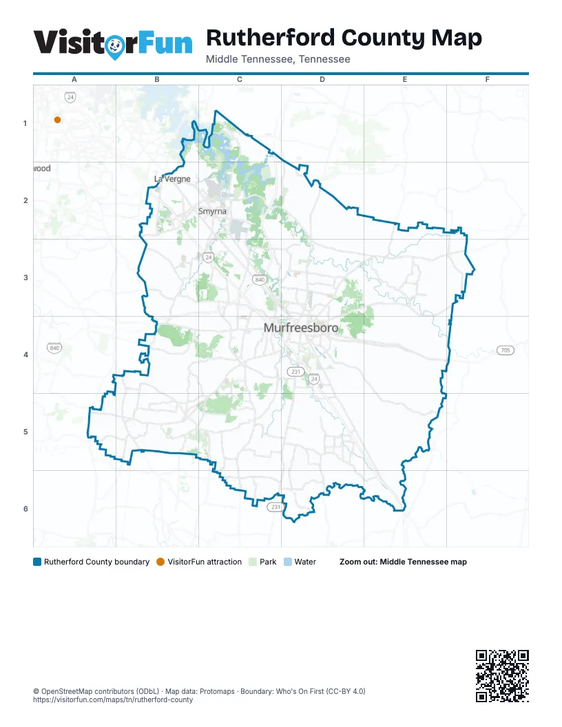
Street index of Rutherford County
Each street on the sheet and the grid squares it crosses.
- Tennessee National Guard ParkwayC1, C2, B3, C3, B4
Places on the map
- Amazon BNA3 Fullfilment Center
- Amberton
- Barfield Crescent Park
- Berkshire
- Bridgestone
- BRIGHTON PARK
- Briley Downs
- CANTERBURY CHASE
- Cedar Hills
- Champions Run Golf Course
- Creeksbend
- DAVENPORT STATION
- Derby Run
- Eagleville
- East Fork Recreation Area
- East Ramp
- Fall Creek Recreation Area
- FOX RIDGE
- HICKORY HILLS
- HighPointe 24
- Holbrook Farm
- Indian Hills Golf Club
- Kimbro Woods
- KINGDOM RIDGE
- La Vergne
- Long Hunter State Park Bryant Grove Area
- MARYMONT SPRINGS
- Middle Tennessee
- Middlepoint Landfill
- MUIRWOOD
- Murfreesboro
- Old Fort Golf Course
- Percy Priest WMA - Unit 1
- Percy Priest WMA - Unit 2
- Ponderosa Island
- Poole Knobs Recreation Area
- Richard Siegel Park
- RIVERS EDGE
- ROCKVALE MEADOWS
- Rutherford County
© OpenStreetMap contributors (ODbL) · Map data: Protomaps · Boundary: Who's On First (CC-BY 4.0)