

United States map
Middle Atlantic States map
The sheet's index lists 14 highways; I-81, I-76 and I-80 cross the most grid squares. Also on it: Albany, Allentown and Altoona.
Open the map (PDF, US Letter)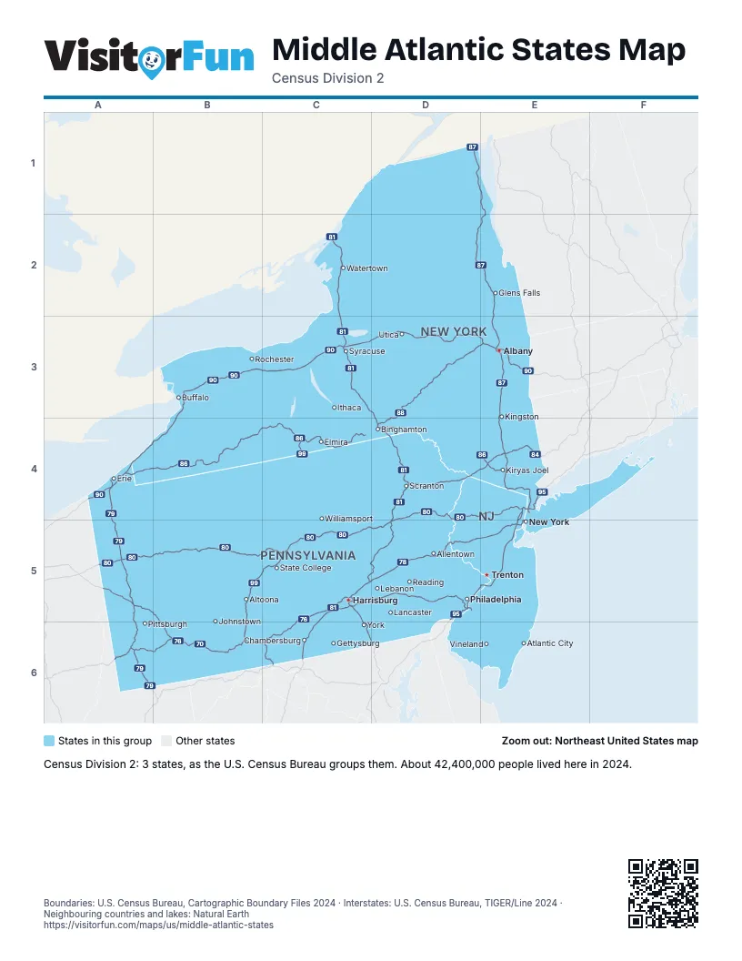
Highway index of Middle Atlantic States
Each highway on the sheet and the grid squares it crosses.
- I-70A6, B6, C6
- I-76A5, B5, B6, C5, C6, D5
- I-78C5, D5, E5
- I-79A4, A5, A6
- I-80A5, B5, C5, D4, D5, E4
- I-81C2, C3, C5, C6, D3, D4, D5
- I-83C5, C6
- I-84D4, E4
- I-86A4, B4, C4, D4, E4
- I-87D1, D2, E1, E2, E3, E4
- I-88D3, D4, E3
- I-90A4, B3, B4, C3, D3, E3
- I-95D5, E4, E5
- I-99B5, B6, C4, C5
Places on the map
- Albany
- Allentown
- Altoona
- Atlantic City
- Binghamton
- Buffalo
- Chambersburg
- Elmira
- Erie
- Gettysburg
- Glens Falls
- Harrisburg
- Ithaca
- Johnstown
- Kingston
- Kiryas Joel
- Lancaster
- Lebanon
- New York
- Philadelphia
- Pittsburgh
- Reading
- Rochester
- Scranton
- State College
- Syracuse
- Trenton
- Utica
- Vineland
- Watertown
- Williamsport
- York
Boundaries: U.S. Census Bureau, Cartographic Boundary Files 2024 · Interstates: U.S. Census Bureau, TIGER/Line 2024 · Neighbouring countries and lakes: Natural Earth















