
Skip to content
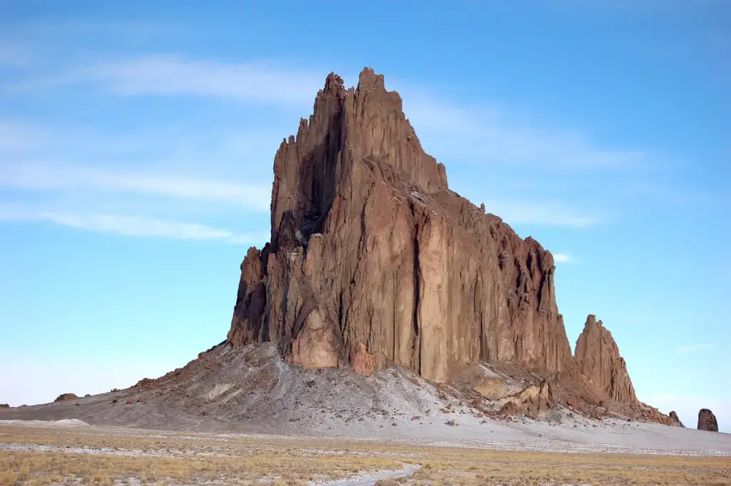
Shiprock, Shiprock, NM

Photo: Bowie Snodgrass, CC BY 2.0, via Wikimedia Commons. Cropped and resized.

SightseeingFreeIconicOutdoor Adventure

Shiprock

Off US-491 and Indian Service Route 13, southwest of the town of Shiprock · Shiprock, NM

Why you should go…

Shiprock is the eroded neck of an ancient volcano, rising about 1,583 feet above the high-desert plain on the Navajo Nation. The Navajo call it Tse Bit'a'i, rock with wings, and it is sacred, so climbing, hiking and camping are prohibited and the base is off limits without a permitted guide. You view and photograph it from the paved roads, US 491 or Indian Service Route 13, which passes through the long south dike. Drone flights need a permit.

  • #rock formation
  • #navajo nation
  • #scenic drive
  • #photography
  • #four corners

Good to know

General sightseeing guidance

Habits that pay off across this whole category, not rules for this one venue. Always check the official site for the specifics.

  • The forecast is part of the ticket

    Haze, low cloud, and rain flatten a view. Clear-day visits are worth rearranging your plans for.

  • Golden hour sells out first

    Sunset slots at observation decks and cruises are the first to go, so book those further ahead.

  • Dress a layer warmer

    It is always breezier up high and out on the water than it feels at street level.

  • Timed entry is common

    Plenty of landmarks release tickets in windows rather than at the door, so check before you walk over.

What's around here?

The closest stops to Shiprock, ordered by straight-line distance.

  • Sport & Outdoor
    Outdoor Adventure

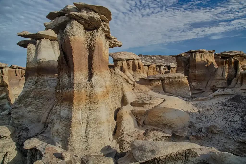
    Bisti/De-Na-Zin Wilderness

    Free

    Hike off trail through 45,000 acres of eroded badlands, colorful hoodoos and petrified wood.
    48 mi awaySwitch it up: Sport & Outdoor