

Alaska road map
Alaska highway map
Alaska has no Interstate with a sheet of its own; the main highways are on the map. Towns on it: Anchorage, Fairbanks and Wasilla. 5 road maps hang from it, among them Alaska's Marine Highway, Glenn Highway and Haines Highway - Valley of the Eagles.
Open the map (PDF, US Letter)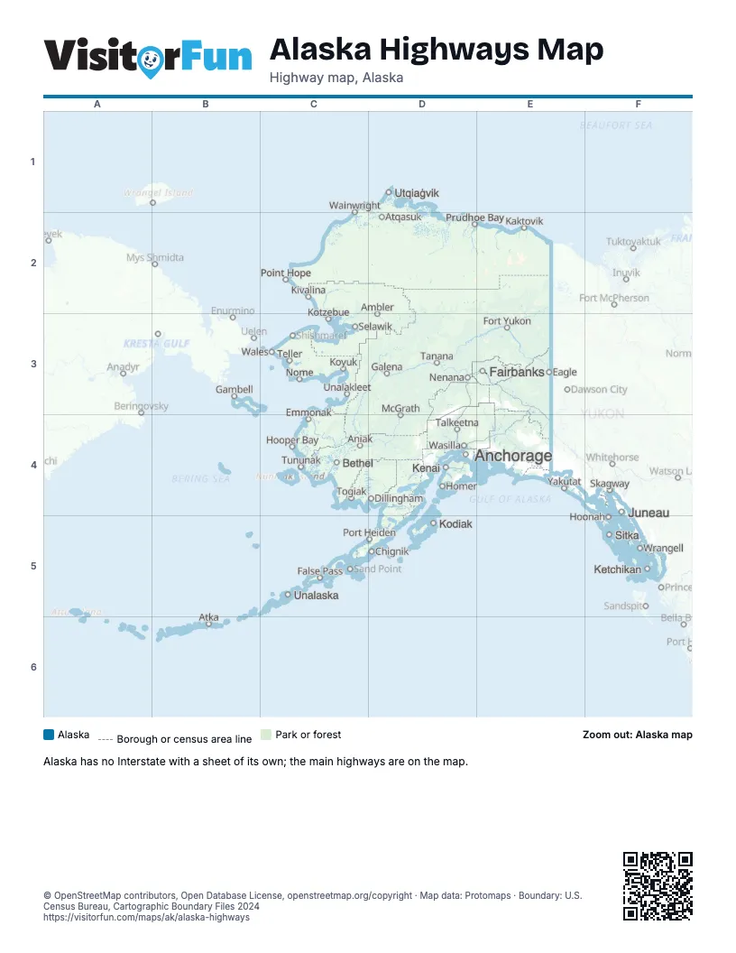
Road maps of Alaska
5 road maps: each Interstate and byway on a sheet of its own.
Places on the map
- Ambler
- Anchorage
- Aniak
- Atka
- Atqasuk
- Bethel
- Chignik
- Dillingham
- Eagle
- Emmonak
- Fairbanks
- False Pass
- Fort Yukon
- Galena
- Gambell
- Homer
- Hoonah
- Hooper Bay
- Juneau
- Kaktovik
- Kenai
- Ketchikan
- Kivalina
- Kodiak
- Kotzebue
- Koyuk
- McGrath
- Nenana
- Nome
- Point Hope
- Port Heiden
- Prudhoe Bay
- Selawik
- Sitka
- Skagway
- Talkeetna
- Tanana
- Teller
- Togiak
- Tununak
- Unalakleet
- Unalaska
- Utqiaġvik
- Wainwright
- Wales
- Wasilla
- Wrangell
- Yakutat
© OpenStreetMap contributors, Open Database License, openstreetmap.org/copyright · Map data: Protomaps · Boundary: U.S. Census Bureau, Cartographic Boundary Files 2024















