

Alaska road map
Alaska's Marine Highway map
Alaska's Marine Highway has been an All-American Road since 2005, named for its cultural and natural qualities: about 3,779 miles in Alaska. It is a ferry route: between ports the line runs over open water. Towns along it: Ketchikan, Homer and Kodiak. Things to do along it: White Pass & Yukon Route Railroad.
Open the map (PDF, US Letter)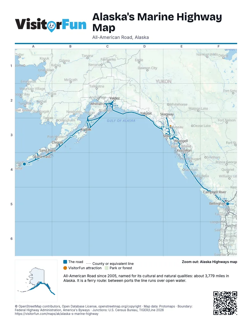
Towns along Alaska's Marine Highway
In mile order, with the grid square of each.
- Ouzinkiemile 607, B3
- Chenegamile 843, C2
- Elfin Covemile 1411, D3
- Petersburgmile 1643, E3
- Kupreanofmile 1644, E3
- Wrangellmile 1676, E3
- Ketchikanmile 1779, E3
- Metlakatlamile 2464, F5
- Kakemile 2483, E3
- Juneaumile 2581, E3
- Mud Baymile 2685, E3
- Hainesmile 2690, E3
- Skagwaymile 2705, E2
- Lutakmile 2707, E2
- Hoonahmile 2761, E3
- Pelicanmile 2789, E3
- Tenakee Springsmile 2789, E3
- Sitkamile 2790, E3
- Angoonmile 2836, E3
- Yakutatmile 2929, D2
- Cordovamile 2958, C2
- Valdezmile 3031, C2
- Whittiermile 3135, C2
- Tatitlekmile 3143, C2
- Port Lionsmile 3393, B3
- Kodiakmile 3396, B3
- Mill Baymile 3396, B3
- Homermile 3514, C2
- Seldovia Villagemile 3514, C2
- Chignikmile 3596, B3
- Sand Pointmile 3614, A4
- False Passmile 3734, A4
- Cold Baymile 3776, A4
- King Covemile 3777, A4
Things to do on the Alaska's Marine Highway map
© OpenStreetMap contributors, Open Database License, openstreetmap.org/copyright · Map data: Protomaps · Boundary: Federal Highway Administration, America's Byways · Junctions: U.S. Census Bureau, TIGER/Line 2026















