

California map
San Luis Obispo-Paso Robles Metro Area map
The sheet's index lists 6 highways; CA 166, US 101 and CA 1 cross the most grid squares. Things to do inside the boundary: Hearst Castle, Point San Luis Lighthouse and Boyd's Tobacco & Elegant Gifts. Also on it: Arroyo Grande, Atascadero and Cambria.
Open the map (PDF, US Letter)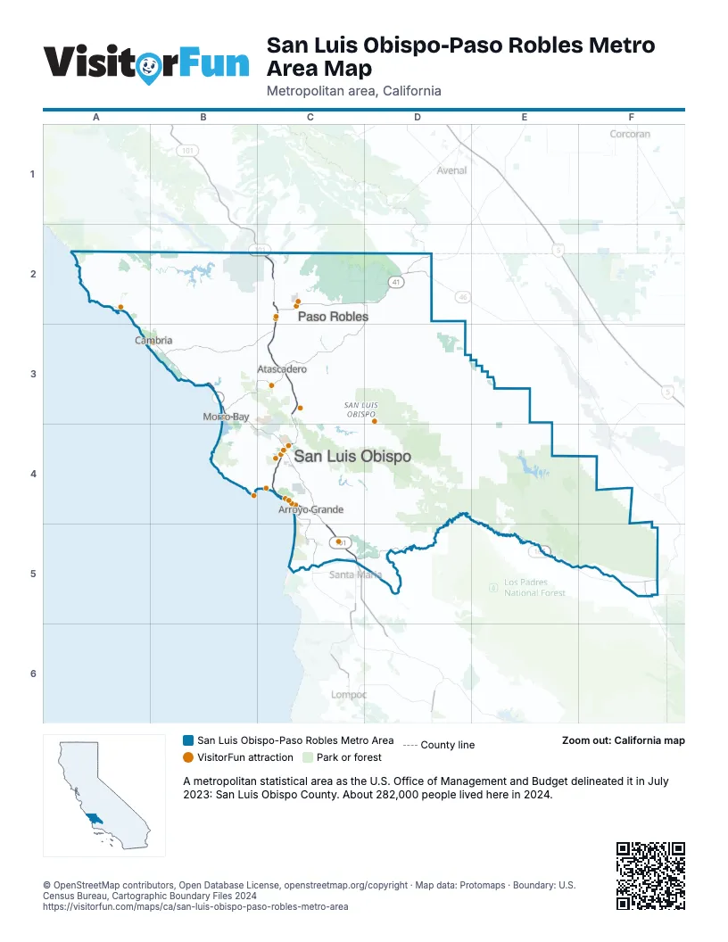
Highway index of San Luis Obispo-Paso Robles Metro Area
Each highway on the sheet and the grid squares it crosses.
- US 101C2, C3, C4, C5
- CA 1B3, B4, C4
- CA 33F5
- CA 41C2, D2
- CA 46C2, C3, D2
- CA 166C5, D4, D5, E4, E5, F5
Things to do on the San Luis Obispo-Paso Robles Metro Area map
- Hearst Castle
- Point San Luis Lighthouse
- Boyd's Tobacco & Elegant Gifts
- Bricks & Minifigs San Luis Obispo
- California Central Coast
- Cambria Nursery & Florist
- Central Coast Veterans Memorial Museum
- Central Coast Zoo
- Estrella Warbirds Museum
- Mama's Meatball
- Margarita Adventures
- Mistura
- Nicola
- Nipomo Swapmeet & Fleamarket
- Paso Robles Visitor Center
- Paso Robles Wine Country
- Pirate's Cove Beach
- Pismo Beach Premium Outlets
- Pismo Beach Visitor Center
- Puzzle Effect
- San Luis Obispo Children's Museum
- Sensorio
- Sub Sea Tours & Kayaks
- Woodland Auto Display
Places on the map
- Arroyo Grande
- Atascadero
- Cambria
- Morro Bay
- Paso Robles
- San Luis Obispo
© OpenStreetMap contributors, Open Database License, openstreetmap.org/copyright · Map data: Protomaps · Boundary: U.S. Census Bureau, Cartographic Boundary Files 2024















