

Delaware road map
Delaware highway map
3 Interstate routes run about 38 miles in Delaware, each on a sheet of its own. The sheet's index lists 31 highways; DE 1, US 13 and US 113 cross the most grid squares. Towns on it: Wilmington, Dover and Newark.
Open the map (PDF, US Letter)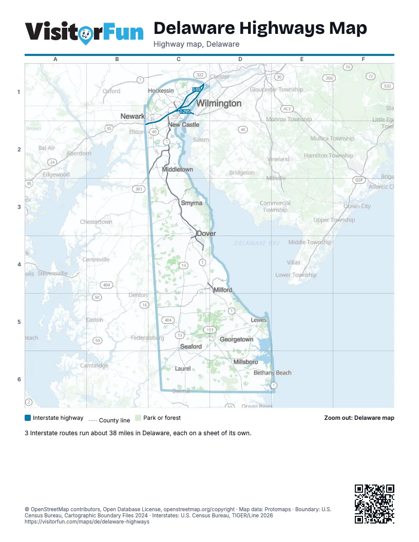
Road maps of Delaware
4 road maps: each Interstate and byway on a sheet of its own.
Highway index of Delaware
Each highway on the sheet and the grid squares it crosses.
- I-95B2, C1, C2
- I-295C1
- I-495C1
- US 9C5, C6, D5
- US 13C1, C2, C3, C4, C5, C6
- US 40B2, C1, C2
- US 113C4, C5, D5, D6
- US 202C1
- US 301C2
- DE 1C1, C2, C3, C4, D4, D5, E6
- DE 4C1
- DE 6C3
- DE 7C1
- DE 8C3, C4
- DE 9C1, C2
- DE 14C4
- DE 15C4
- DE 18C5, D5
- DE 20C5, D6
- DE 24D6
- DE 41C1
- DE 48C1
- DE 71C2
- DE 72C2
- DE 100C1
- DE 141C1
- DE 202C1
- DE 404C5, D5
- MD 404C5
- MD 454C4
- DE 896C2
Places on the map
- Bethany Beach
- Dover
- Georgetown
- Hockessin
- Laurel
- Lewes
- Middletown
- Milford
- Millsboro
- New Castle
- Newark
- Seaford
- Smyrna
- Wilmington
© OpenStreetMap contributors, Open Database License, openstreetmap.org/copyright · Map data: Protomaps · Boundary: U.S. Census Bureau, Cartographic Boundary Files 2024 · Interstates: U.S. Census Bureau, TIGER/Line 2026















