

Florida map
Escambia County map
About 331,275 people live here (Census Bureau, 2024 estimate). The sheet's index lists Escambia Bay Bridge and Reubin O'Donovan Askew Parkway. Things to do inside the boundary: National Naval Aviation Museum.
Open the map (PDF, US Letter)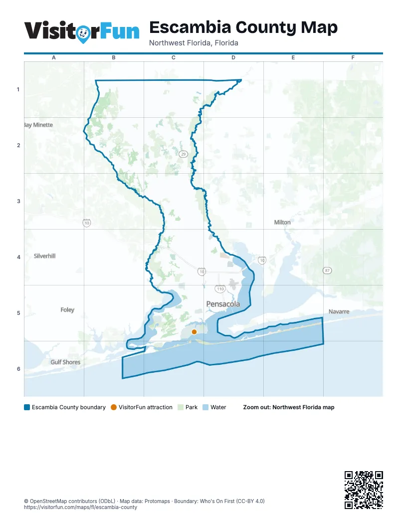
Street index of Escambia County
Each street on the sheet and the grid squares it crosses.
- Escambia Bay BridgeD4
- Reubin O'Donovan Askew ParkwayD4, D5
Things to do on the Escambia County map
Places on the map
- A.C. Read Golf Course
- Ascend Performance Materials
- Bayou Chico
- Bayou Garcon
- Bayou Texar
- Bellview
- Big Lagoon
- Big Lagoon State Park
- Blossom Trail Sandpit
- Brent
- Century
- Cordova Mall
- Crescent Lake
- Ellyson Industrial Park
- Ensley
- Escambia County
- Fallchase
- Ferry Pass
- Field Nine
- Fort Pickens
- Foxtail Loop
- Gonzalez
- Goulding
- Goulding Yard
- Governors Bayou
- Grand Lagoon
- Gulf Clean Energy Center
- Intercoastal
- Inverness
- Island Ash Pond
- Lake Stone
- Lost Key Golf Club
- Mallory Heights
- Marcus Pointe Golf Club
- McDavid Sawmill
- Molino
- Myrtle Grove
- Naval Outlying Landing Field Bronson
- Navy Point Park
- Pensacola
Next to Escambia County
- Bay Minette
- Foley
- Gulf Shores
- Milton
- Navarre
- Silverhill
© OpenStreetMap contributors (ODbL) · Map data: Protomaps · Boundary: Who's On First (CC-BY 4.0)