

Florida map
Hernando County map
About 218,150 people live here (Census Bureau, 2024 estimate). The sheet's index lists Suncoast Parkway. Things to do inside the boundary: Weeki Wachee Springs State Park.
Open the map (PDF, US Letter)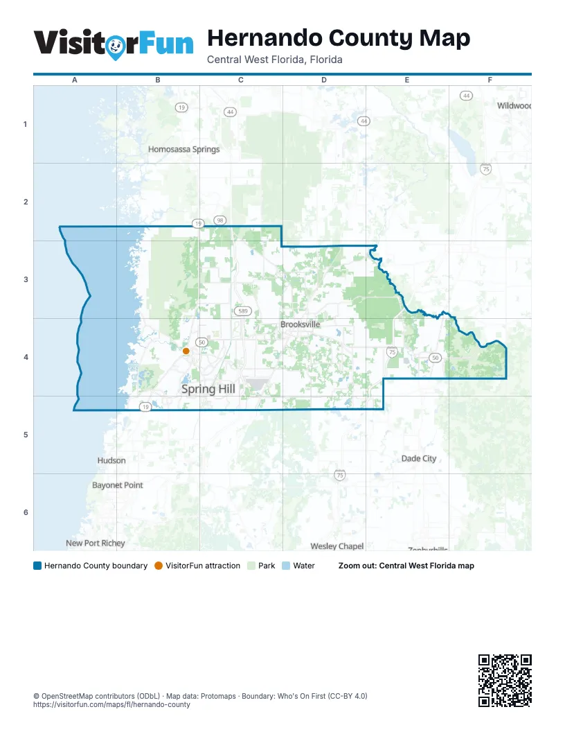
Street index of Hernando County
Each street on the sheet and the grid squares it crosses.
- Suncoast ParkwayC2, C3, C4, C5
Things to do on the Hernando County map
Places on the map
- Annutelliga Hammock
- Annutteliga Hammock
- Brookridge
- Brooksville
- Brooksville Country Club
- Cabot Citrus Farms
- Chassahowitzka Swamp
- Chassahowitzka Wildlife Management Area
- Chinsegut Wildlife and Environmental Area
- Coloniel Robins
- Hernando Beach
- Hernando County
- High Point
- Highpoint Boulevard
- Hill "n Dale
- Istachatta
- Masaryktown
- Nobleton
- North Brooksville
- North Weeki Wachee
- Oak Hills Golf Club
- Ridge Manor
- Rivard Golf Club
- Seven Hills Golfers Club
- Sherman Hills Subdivision
- South Brooksville
- Spring Hill
- Spring Lake
- Timber Pines
- Timber Pines Country Club
- Weeki Wachee
- Weeki Wachee Gardens
- Weekiwachee Preserve
Next to Hernando County
- Bayonet Point
- Dade City
- Homosassa Springs
- Hudson
- Moon Lake
- New Port Richey
- River Ridge
- San Antonio
- Wesley Chapel
- Wildwood
© OpenStreetMap contributors (ODbL) · Map data: Protomaps · Boundary: Who's On First (CC-BY 4.0)