

Florida map
Marion County map
About 428,905 people live here (Census Bureau, 2024 estimate). Things to do inside the boundary: Silver Springs State Park. Also on it: 49th Avenue Tract, Belleview and Buck Lake.
Open the map (PDF, US Letter)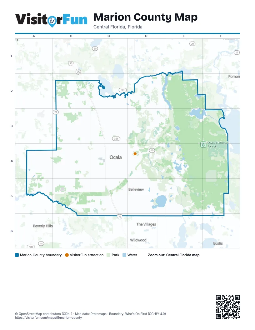
Things to do on the Marion County map
Places on the map
- 49th Avenue Tract
- Belleview
- Buck Lake
- Coehadjoe Park
- Cross Florida Greenway
- Dog Bone
- Dunnellon
- Ella Lake
- Halfmoon Lake
- Hálpata Tastanaki Nature Preserve
- Hemlock Loop
- HITS
- Indian Lake Prairie
- Indian Lake State Forest
- Island Lake
- Juliette Falls Golf Club
- Jumbolair Airport
- Juniper Prairie Wilderness
- Lake Bryant
- Lake Charles
- Lake Delancy
- Lake Eaton
- Lake Fay
- Lake Kerr
- Lake Weir
- Links at Spruce Creek
- Marion County
- Marshall Swamp Tract
- McIntosh
- Mill Dam Lake
- Millwood Estates
- Mud Lake
- Nancy Lopez Legacy Golf Course
- Nicotoon Lake
- Ocala
- Ocala National Forest
- Ocala National Golf Club
- Ocklawaha Prairie Restoration Area
- Ocklawaha River
- Owens Lake
Next to Marion County
- Beverly Hills
- Eustis
- Pomona Park
- The Villages
- Wildwood
© OpenStreetMap contributors (ODbL) · Map data: Protomaps · Boundary: Who's On First (CC-BY 4.0)