

Idaho road map
Idaho highway map
5 Interstate routes run about 601 miles in Idaho, each on a sheet of its own. The sheet's index lists 14 highways; I-15, US 26 and I-84 cross the most grid squares. Towns on it: Boise, Idaho Falls and Pocatello.
Open the map (PDF, US Letter)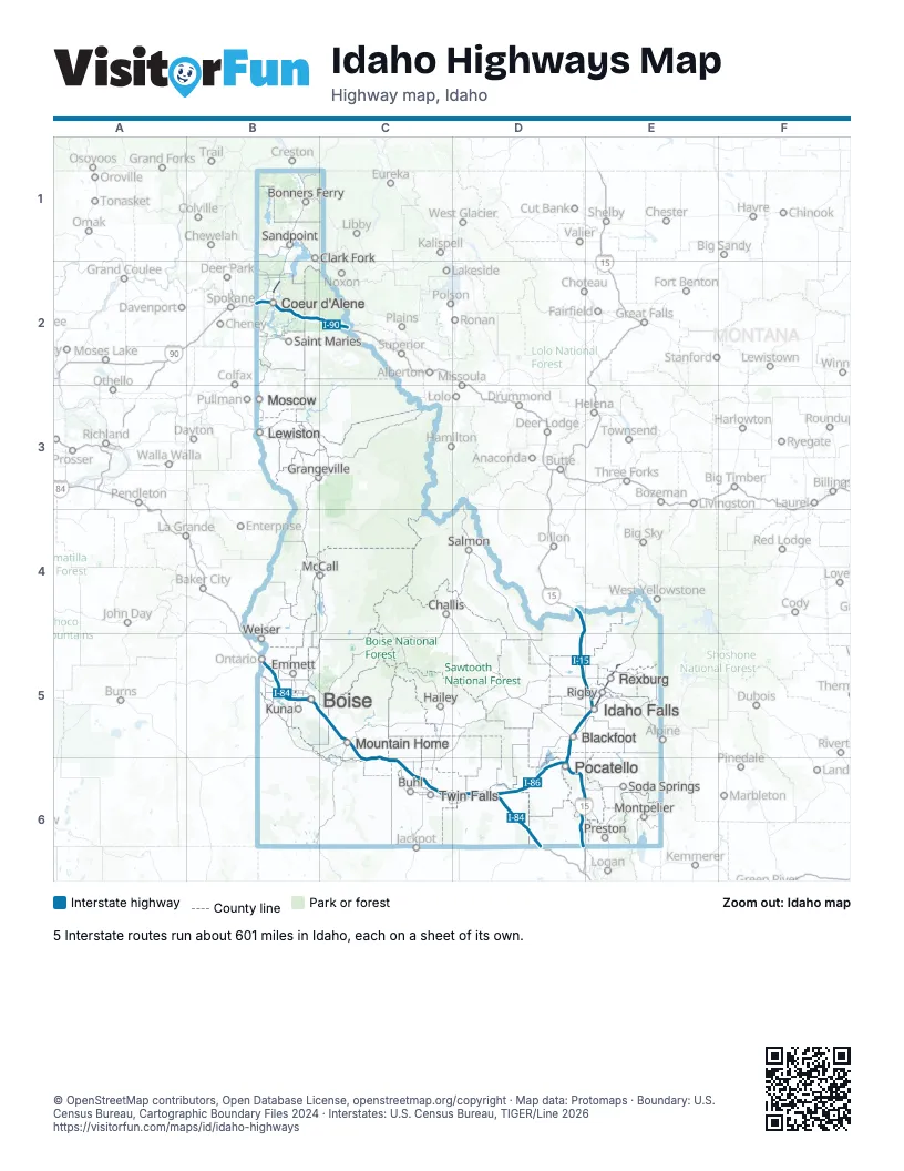
Road maps of Idaho
4 road maps: each Interstate and byway on a sheet of its own.
Highway index of Idaho
Each highway on the sheet and the grid squares it crosses.
- I-15D4, D5, D6, E4, E5, E6
- I-84B5, C5, C6, D6
- I-86D6
- I-90B2, C2
- I-184B5
- US 20B5, C5, E5
- US 26B5, C5, C6, D5, E5
- US 30B5, C5, C6, D6
- US 91D6, E6
- US 95B2
- ID 16B5
- ID 25D6
- SH 33E5
- ID 55B5
Places on the map
- Blackfoot
- Boise
- Bonners Ferry
- Buhl
- Challis
- Clark Fork
- Coeur d'Alene
- Emmett
- Grangeville
- Hailey
- Idaho Falls
- Kuna
- Lewiston
- McCall
- Montpelier
- Moscow
- Mountain Home
- Pocatello
- Preston
- Rexburg
- Rigby
- Saint Maries
- Salmon
- Sandpoint
- Soda Springs
- Twin Falls
- Weiser
© OpenStreetMap contributors, Open Database License, openstreetmap.org/copyright · Map data: Protomaps · Boundary: U.S. Census Bureau, Cartographic Boundary Files 2024 · Interstates: U.S. Census Bureau, TIGER/Line 2026