

North Carolina map
Onslow County map
About 212,954 people live here (Census Bureau, 2024 estimate). The sheet's index lists 6 streets; Wilson Boulevard, Coretta Scott King and Martin Luther King Jr. Highway and Jacksonville Parkway cross the most grid squares. Also on it: Aragona Village, Ashbury Park and Bayshore.
Open the map (PDF, US Letter)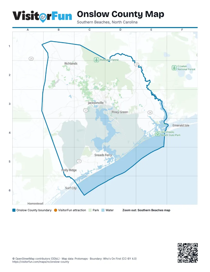
Street index of Onslow County
Each street on the sheet and the grid squares it crosses.
- Coretta Scott King and Martin Luther King Jr. HighwayC3
- Jacksonville ParkwayC3
- KIA/MIA/POW FreewayC3
- Louis W. Sewell, Jr. BridgeC3
- Ronald W. Reagan FreewayC3
- Wilson BoulevardD3, D4
Places on the map
- Aragona Village
- Ashbury Park
- Bayshore
- Bear Trail Golf Course
- Beechtree Hills
- Bell Fork Homes
- Big Branch Bike Park
- Branchwood
- Briarneck Landing
- Brown Island Live Fire Impact Area Keep Out
- Brynn Marr
- Burton Business Park
- Camp Gilbert H. Johnson
- Cardinal Village
- Carolina Forest
- Carolina Plantations
- Chaney Heights
- Cherry Grove
- Cherrywoods
- College Park
- Country Club Acres
- Country Club Hills
- Deerfield
- Downtown
- Dudley Island
- Everett Creek
- Georgetown
- Gravely Creek
- Great Sandy Run Pocosin
- Greenbriar
- Half Moon
- Half Moon Heights
- Hammocks Beach State Park
- Headys Beach
- Henderson Drive Office Park
- Highland Forest
- Hines Farm Park and Stables
- Hinson's Farm
- Hofmann Forest
- Holiday City
Next to Onslow County
- Cape Carteret
- Emerald Isle
- Hampstead
- Surf City
© OpenStreetMap contributors (ODbL) · Map data: Protomaps · Boundary: Who's On First (CC-BY 4.0)