

New York map
Governors Island map
A printable two-page map of Governors Island (Manhattan, New York), drawn by VisitorFun from OpenStreetMap. Page two is the street index: every street on the sheet with its grid square, the same list as below.
Open the map (PDF, US Letter)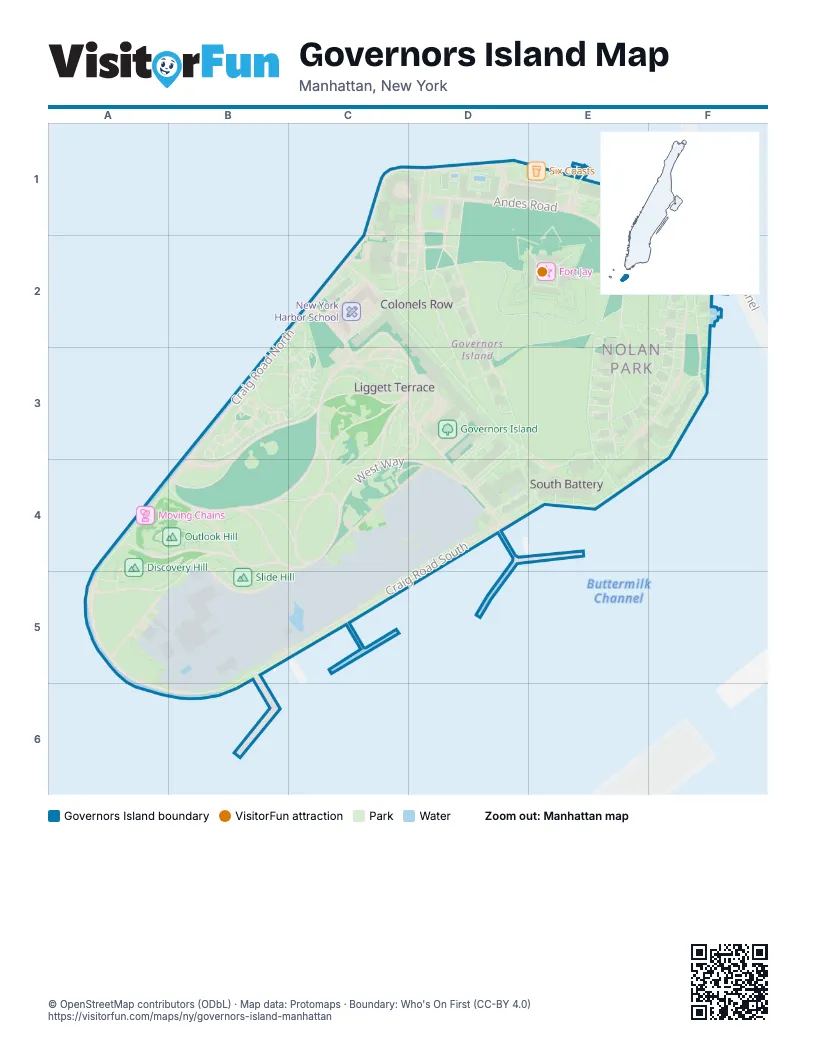
Street index of Governors Island
Each street on the sheet and the grid squares it crosses.
- Brooklyn-Battery TunnelF1
Things to do on the Governors Island map
Places on the map
- Castle Williams
- Chapel of St. Cornelius
- Collective Retreats - Governors Island
- Commanding Officer's Quarters
- Discovery Hill
- Fort Jay
- Governors Island
- Governors Island National Monument
- Grassy Hill
- Hammock Grove
- Hammock Grove Play Area
- King Avenue Food Court
- Ligget Terrace Food Court
- Liggett Hall
- Lima Pier
- Moving Chains
- New York Harbor School
- NYC Audubon
- Outlook Hill
- Parade Ground
- Picnic Point
- Play Lawn
- QC NY spa
- Six Coasts
- Slide Hill
- The Dysfunctional Collective House
- The HoloCenter
- The Oval
- Yankee Pier
© OpenStreetMap contributors (ODbL) · Map data: Protomaps · Boundary: Who's On First (CC-BY 4.0)