

New York map
Great Kills Park map
A printable two-page map of Great Kills Park (Staten Island, New York), drawn by VisitorFun from OpenStreetMap. Page two is the street index: every street on the sheet with its grid square, the same list as below.
Open the map (PDF, US Letter)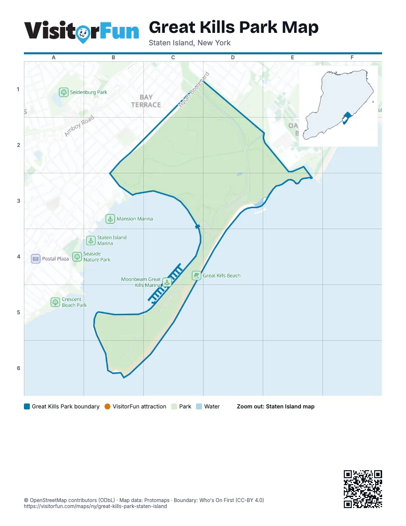
Street index of Great Kills Park
Each street on the sheet and the grid squares it crosses.
- Buffalo StreetC1, D1, D2, D3, C4, D4, C5
- Hopkins AvenueC1
- Hylan BoulevardC1, B2, C2
- Ovis PlaceC1
- Spratt AvenueC1
- Thayer PlaceC1
- Keegans LaneB2
- Redgrave AvenueB2
- Bay TerraceC2
- Justin AvenueC2
- Fairlawn AvenueB3
- Crookes Point RoadB5, C5, B6
- Harbor RoadB5, C5
Places on the map
- Great Kills Beach
- Great Kills Park
- Parking Area E
- Parking Area F
- Parking Area G
Next to Great Kills Park
- Bay Terrace
- Oakwood Beach
© OpenStreetMap contributors (ODbL) · Map data: Protomaps · Boundary: Who's On First (CC-BY 4.0)