

Pennsylvania map
Erie County map
About 267,750 people live here (Census Bureau, 2024 estimate). The sheet's index lists 3 streets; AMVETS Memorial Highway, Raymond P Shafer Highway and Hopkins-Bowser Highway cross the most grid squares. Also on it: Albion, Amity Township and Asbury Woods.
Open the map (PDF, US Letter)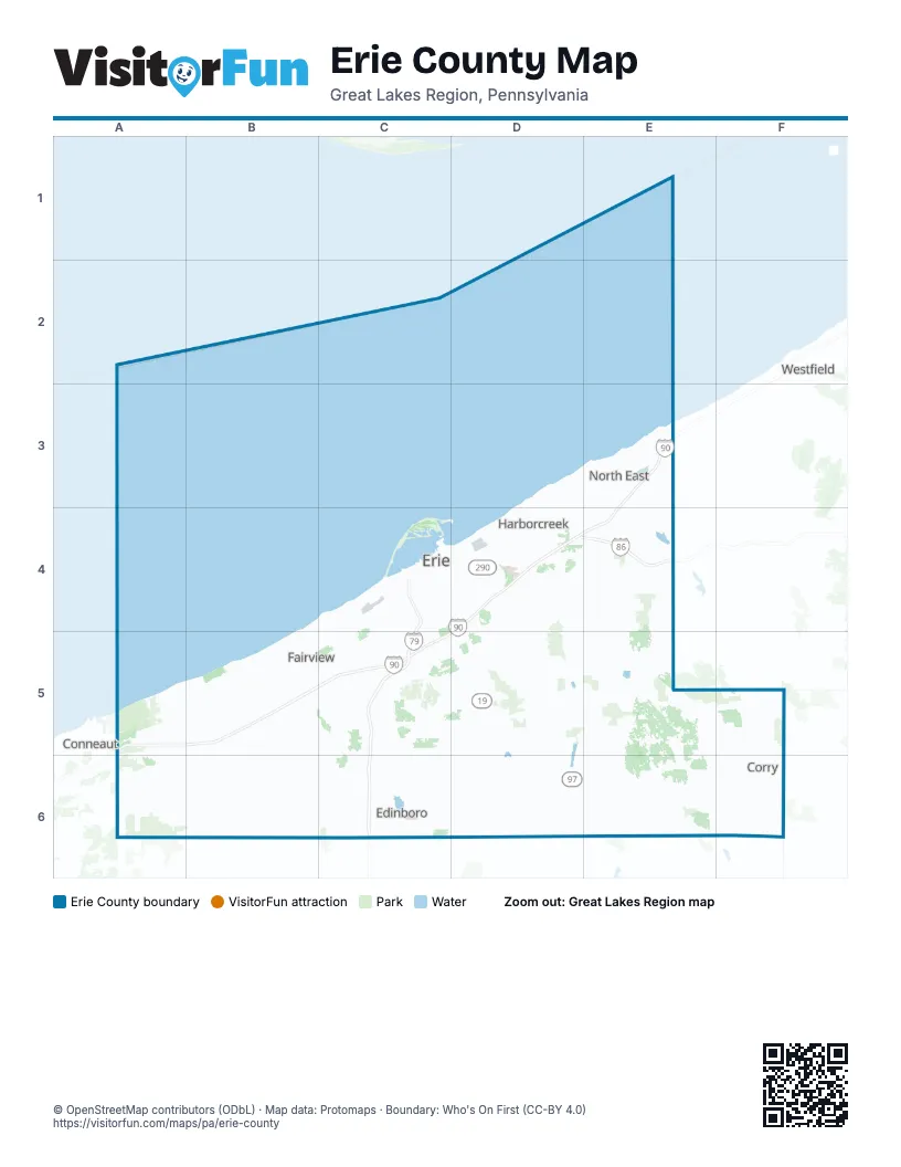
Street index of Erie County
Each street on the sheet and the grid squares it crosses.
- AMVETS Memorial HighwayE3, D4, E4, A5, B5, C5
- Raymond P Shafer HighwayC4, C5
- Hopkins-Bowser HighwayD4, E4
Places on the map
- Albion
- Amity Township
- Asbury Woods
- Avonia
- Barracks Beach
- Beach 9 - Pine Tree
- Beechwood Golf Club
- Belle View
- Brookside
- Camp Notre Dame
- Concord Township
- Conneaut Township
- Corry
- Cranesville
- Culbertson Hills Golf Club
- Downing Golf Course
- Edinboro
- Edinboro Lake
- Elgin
- Elk Creek Township
- Elk Valley Golf Course
- Erie
- Erie Bluffs State Park
- Erie County
- Erie Golf Club
- Fairview
- Fairview Township
- Family Affair Campground
- Foxwood
- Franklin Township
- Girard
- Girard Park
- Girard Township
- Goodell Gardens & Homestead
- Gospel Hill
- Greene Township
- Greenfield Township
- Harbor Ridge
- Harbor Ridge Golf Course
Next to Erie County
- Conneaut
- Westfield
© OpenStreetMap contributors (ODbL) · Map data: Protomaps · Boundary: Who's On First (CC-BY 4.0)