

Pennsylvania map
Great Lakes Region map
The sheet's index lists 20 highways; I-79, I-80 and I-90 cross the most grid squares. Things to do inside the boundary: Keystone Safari and Mercer County, PA. Also on it: Corry, Edinboro and Erie.
Open the map (PDF, US Letter)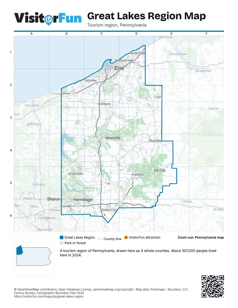
Highway index of Great Lakes Region
Each highway on the sheet and the grid squares it crosses.
- I-79C1, C2, C3, C4, C5, C6
- I-80B6, C6, D6, E6
- I-86D1
- I-90B2, C2, D1, D2
- I-376B6
- US 6C4, D2, E2
- US 19C2, C4, D2
- US 62B6, D5, E4, E5
- US 322B4, C4, D5
- PA 8D2, D5, D6
- NY 17D1
- PA 18B4, B5, B6, C4
- PA 58B5
- PA 89D2
- PA 97D2
- PA 285C4
- PA 290C1, D1
- PA 358B5
- PA 430D1
- PA 760B6
Things to do on the Great Lakes Region map
Places on the map
- Corry
- Edinboro
- Erie
- Fairview
- Franklin
- Greenville
- Grove City
- Harborcreek
- Hermitage
- Meadville
- North East
- Oil City
- Sharon
- Titusville
Next to Great Lakes Region
- Chautauqua-Allegheny
- Northeast Ohio
- Pennsylvania Wilds map
- Pittsburgh & Its Countryside map
© OpenStreetMap contributors, Open Database License, openstreetmap.org/copyright · Map data: Protomaps · Boundary: U.S. Census Bureau, Cartographic Boundary Files 2024