

Rhode Island map
Warwick & West Bay map
The sheet's index lists 23 highways; I-95, RI 117 and RI 2 cross the most grid squares. Things to do inside the boundary: Gen. James Mitchell Varnum House, Goddard Memorial State Park and New England Wireless & Steam Museum. Also on it: Anthony, Coventry and East Greenwich.
Open the map (PDF, US Letter)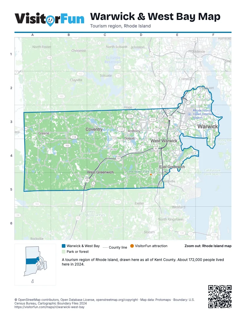
Highway index of Warwick & West Bay
Each highway on the sheet and the grid squares it crosses.
- I-95B5, C4, C5, D4, E2, E3, E4
- I-295E3
- US 1E2, E3, E4
- US 1AE2, F2
- RI 2D3, D4, D5, E3, E4, E5
- RI 3C4, C5, D3, D4
- RI 4D5, E4, E5
- RI 5E3
- CT 14A3
- RI 14A3, B3
- RI 33D3, E3
- RI 37E2
- RI 102B3, B4, B5
- RI 113E3
- RI 115D3, E3
- RI 116D3
- RI 117A3, B3, C3, D3, E3, F2, F3
- RI 117AF3
- RI 118B3, B4, C4
- RI 401D4, E4
- RI 402E4, E5
- RI 403E4, E5
- Airport Connector RoadE3
Things to do on the Warwick & West Bay map
Places on the map
- Anthony
- Coventry
- East Greenwich
- Greene
- Tiogue
- Warwick
- West Greenwich
- West Warwick
Next to Warwick & West Bay
- Eastern Connecticut
- Blackstone Valley map
- South County map
© OpenStreetMap contributors, Open Database License, openstreetmap.org/copyright · Map data: Protomaps · Boundary: U.S. Census Bureau, Cartographic Boundary Files 2024