

Texas map
Bell County map
About 399,578 people live here (Census Bureau, 2024 estimate). The sheet's index lists 4 streets; Purple Heart Trail, Central Texas Expressway and Northwest H K Dodgen Loop cross the most grid squares. Things to do inside the boundary: National Mounted Warrior Museum.
Open the map (PDF, US Letter)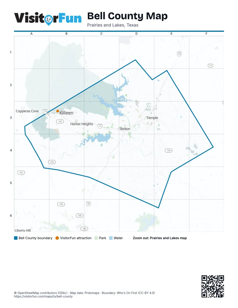
Street index of Bell County
Each street on the sheet and the grid squares it crosses.
- Purple Heart TrailE2, D3, E3
- Central Texas ExpresswayB3, C3, D3
- H K Dodgen LoopD3
- Northwest H K Dodgen LoopD3, E3
Things to do on the Bell County map
Places on the map
- Bell County
- Bella Charca
- Belton
- Belton Lake
- Belton Lake Outdoor Recreation Area
- BKSR Screening
- Brookhaven Scout RECCE
- Camp Arrowhead Boy Scout Camp
- Cedar Ridge Park
- Chaffee Village
- Chalk Ridge Falls Park
- Dana Peak Park
- Dana Peaks Park
- Elm Grove Estates
- Fort Cavazos Regional Trail
- Fort Hood Ammunition Storage Area
- Fort Hood Stables
- Harker Heights
- Heritage Oaks Park
- Heritage Park
- Holland
- Jamesway
- Killeen
- Kouma Village
- Lakewood Ranch
- Levy Crossing
- Little River-Academy
- Market Heights
- McGregor Park
- Meta Temple Data Center
- Miller Springs Park
- Morgan's Point Resort
- Nolanville
Next to Bell County
- Copperas Cove
- Liberty Hill
© OpenStreetMap contributors (ODbL) · Map data: Protomaps · Boundary: Who's On First (CC-BY 4.0)