

Texas map
Jefferson County map
About 253,948 people live here (Census Bureau, 2024 estimate). The sheet's index lists 7 streets; I 10, Eastex Freeway and North Memorial Freeway cross the most grid squares. Things to do inside the boundary: McFaddin-Ward House, Museum of the Gulf Coast and Port Arthur.
Open the map (PDF, US Letter)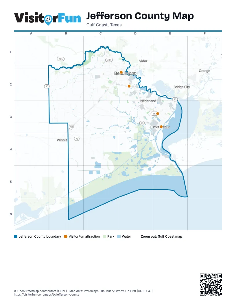
Street index of Jefferson County
Each street on the sheet and the grid squares it crosses.
- Eastex FreewayC1, C2
- I 10C2, B3, C3
- US 69 Southbound Frontage roadC2
- North Memorial FreewayD2, D3
- Memorial FreewayD3, E3
- South Memorial FreewayD3
- TX 73B4
Things to do on the Jefferson County map
Places on the map
- Babe Zaharias Golf Course
- Barnett Lake
- BASF Agriculture
- Beaumont
- Beaumont Municipal Airport
- Bevil Oaks
- Brentwood Country Club
- Cattail Marsh
- China
- Clam Lake
- ExxonMobil Chemical
- Fence Lake
- Flint Hills Resources
- Goodyear Tire & Rubber
- Groves
- Indorama Ventures Oxides
- J.D. Murphree Wildlife Management Area
- Jefferson County
- Johnson Lake
- Keith Lake
- Knight Lake
- Lost Lake
- Lucas Terminal
- MacFadden Beach
- Mark W. Stiles Unit
- McFadden Bend Cutoff
- McFaddin National Wildlife Refuge
- Motiva Port Arthur Refinery
- Mud Lake
- Nederland
- Nome
- NR CBD
- Oiltanking Beaumont
- PABTEX
- Park Central Crossing
- Pine Island Byou Estate
Next to Jefferson County
- Bridge City
- Orange
- Vidor
- Winnie
© OpenStreetMap contributors (ODbL) · Map data: Protomaps · Boundary: Who's On First (CC-BY 4.0)