

Washington map
Spokane County map
About 555,947 people live here (Census Bureau, 2024 estimate). The sheet's index lists 3 streets; Spokane Valley Freeway, North Spokane Corridor and East Appleway Avenue cross the most grid squares. Things to do inside the boundary: Northwest Museum of Arts and Culture, Spokane and Wonders of the World.
Open the map (PDF, US Letter)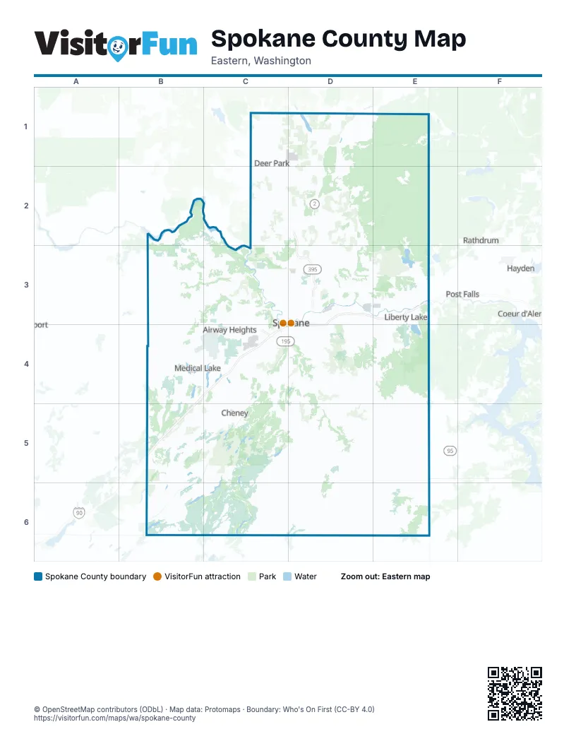
Maps inside Spokane County
1 map inside, from the street map of Spokane County down.
Street index of Spokane County
Each street on the sheet and the grid squares it crosses.
- North Spokane CorridorD3
- Spokane Valley FreewayD3, E3, D4
- East Appleway AvenueE3
Things to do on the Spokane County map
Places on the map
- Airway Heights
- Alkali Lake
- Amber Lake
- Antoine Peak Conservation Area
- Arrowhead Point
- Aspen Park
- Audubon / Downriver
- Avista Corporation
- Badger Lake
- Balboa / South Indian Trail
- Ballinger Lake
- Bear Lake Regional Park
- Bemiss
- Big Sky
- Blue Heron
- Bluegrass
- Bonnie Lake
- Brighton Place
- Broadmoor Estates
- Browne's Addition
- Camelot
- Camp Sekani Park
- Campbell Lake
- Campion Park
- Canyon Bluffs
- Central Pre-Mix
- Chapman Lake
- Cheney
- Chief Garry Park
- Clear Lake
- Comstock
- Cossalman Lake
- Country Homes
- Craig Road Landfill
- Craig Road Pit
- Creek at Qualchan Golf Course
- Davis Lake
- Deer Park
- Deer Park Golf Club
- Douglas Legacy Park Phase 2
Next to Spokane County
- Coeur d'Alene
- Hayden
- Post Falls
- Rathdrum
© OpenStreetMap contributors (ODbL) · Map data: Protomaps · Boundary: Who's On First (CC-BY 4.0)