Museums
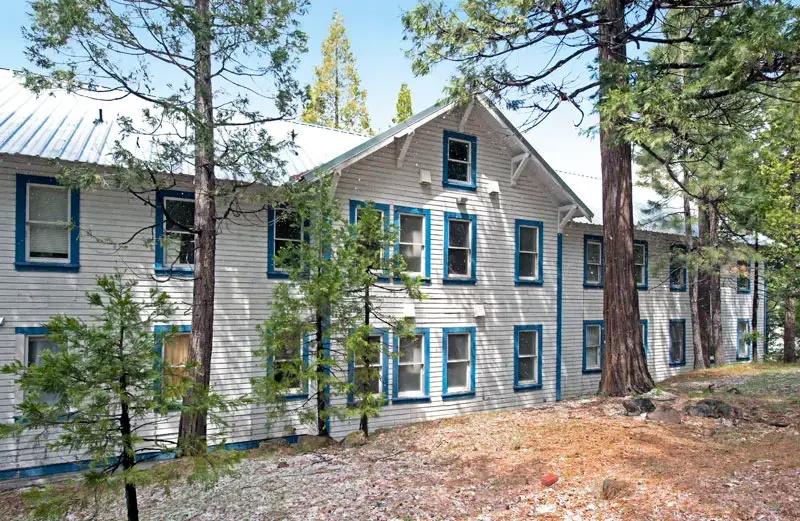
Weed Lumber Town Museum
Check pricesLocal museum in Weed, California, showing historic artifacts and photos tied to the town's founders and early residents.


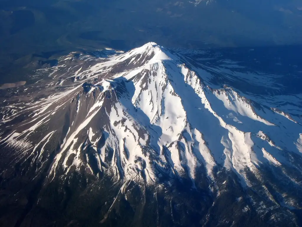
Photo: Ewen Denney ( talk · contribs ), CC BY-SA 3.0, via Wikimedia Commons. Cropped and resized.
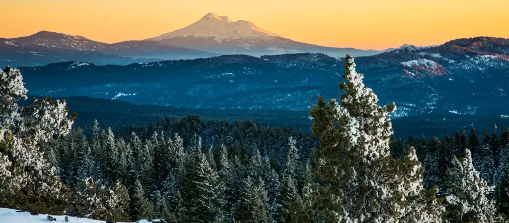
See a 14,179-foot glacier-capped volcano from the Everitt Memorial Highway, or hike and climb from the Bunny Flat trailhead.
Bunny Flat Trailhead, Everitt Memorial Hwy, 12 miles from town · Mount Shasta, CA
Mount Shasta is a stratovolcano rising 14,179 feet, the second-highest peak in the Cascades, with seven named glaciers. The Everitt Memorial Highway climbs 12 miles from town to Bunny Flat, the main trailhead for day hikes and summit attempts. The Avalanche Gulch route is considered the easiest way up, yet it gains more than 7,000 feet. Wilderness permits are free and required all year, climbers above 10,000 feet need a summit pass, and dogs are not allowed.
The closest stops to Mount Shasta, ordered by straight-line distance. A few more like it, plus some different kinds of fun so you can build a full day.
Local museum in Weed, California, showing historic artifacts and photos tied to the town's founders and early residents.
9.8 mi awaySwitch it up: Museums
Northern California county centered on Mount Shasta, with wilderness, lakes and Gold Rush towns.
Transit: reachable by public transit
32 mi awayMore like this
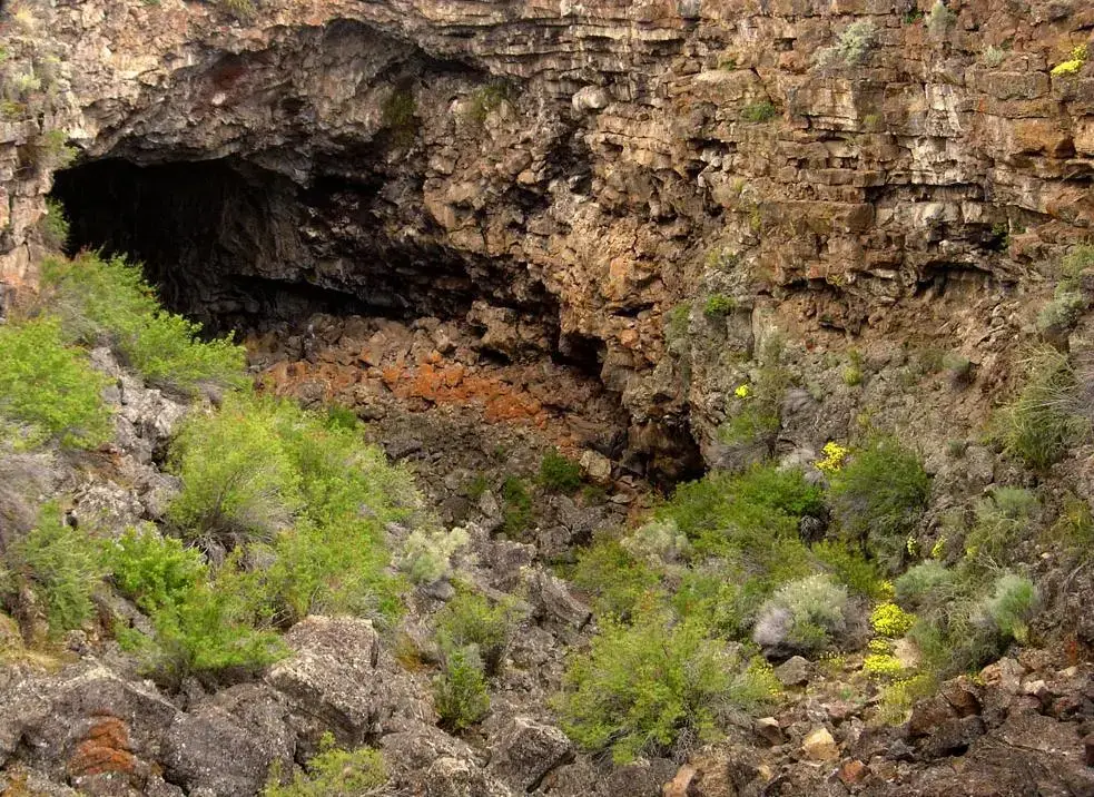
A northern California national monument of volcanic caves, lava terrain, rock art, and Modoc War history.
41 mi awayMore like this
BLM monument 17 miles southeast of Ashland where the Cascade, Siskiyou and Klamath ranges meet, with Pilot Rock, Hyatt Lake and a stretch of the Pacific Crest Trail.
51 mi awayMore like this
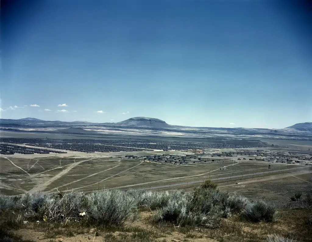
A National Park Service site preserving two World War II sites tied to the incarceration of Japanese Americans and later a prisoner of war camp.
54 mi awaySwitch it up: Sightseeing
Family owned Rogue Valley winery with a hilltop tasting room near Ashland.
58 mi awaySwitch it up: Eat & Drink