

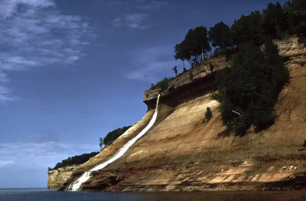
Photo: National Park Service, Public domain, via Wikimedia Commons. Cropped and resized.
Sport & OutdoorIconicOutdoor Adventure
Pictured Rocks National Lakeshore
Pictured Rocks National Lakeshore is an outdoor activity in Munising, MI. Cost: $25 to $50. Open year-round; most roads are closed by snow in winter.
Munising Falls Visitor Center, 1505 Sand Point Rd · Munising, MI
Why you should go…
Pictured Rocks runs 42 miles along Lake Superior in Michigan's Upper Peninsula, with multicolored sandstone cliffs rising up to 200 feet above the water. You can hike nearly 100 miles of trails, kayak or boat below the cliffs, walk to waterfalls such as Munising Falls and Sable Falls, and climb the Grand Sable Dunes. Designated in 1966 as the country's first national lakeshore, it stays open all year, though snow closes most roads in winter.
- #national lakeshore
- #lake superior
- #sandstone cliffs
- #kayaking
- #waterfalls