Sports & Outdoors
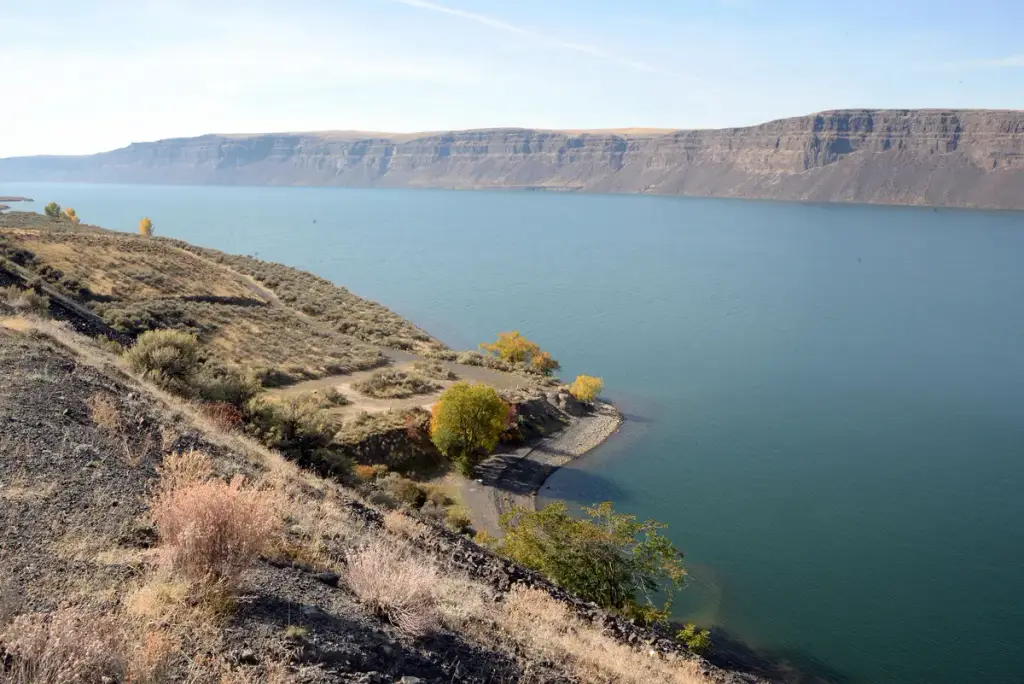
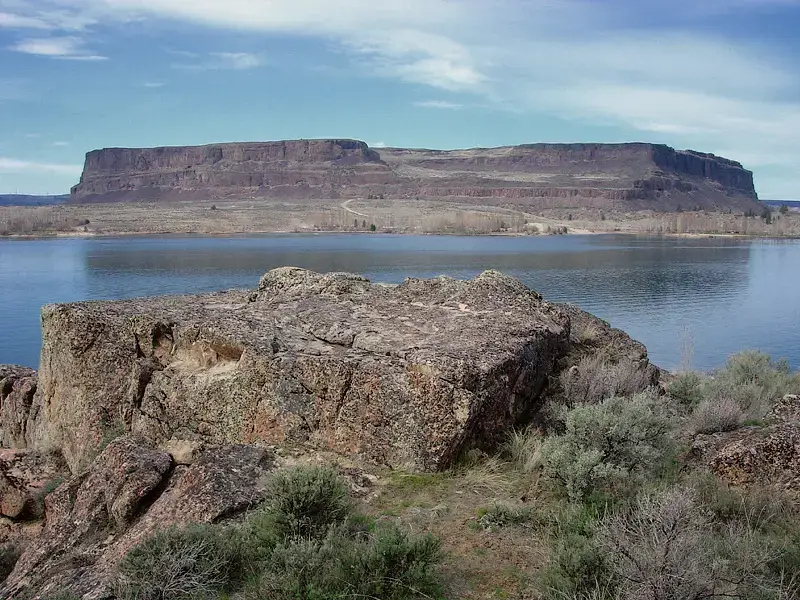
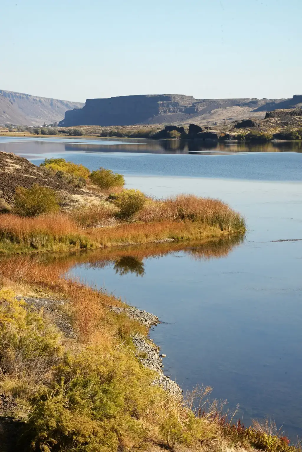
Sun Lakes Wildlife Area Unit
Check pricesA Washington Department of Fish and Wildlife unit with stocked lakes, basalt cliffs, upland bird hunting, and a rifle range near Lake Lenore.


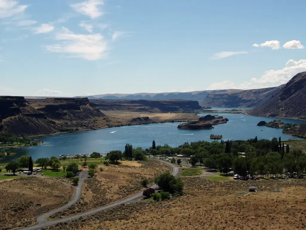
Photo: WiiUser23, CC BY-SA 3.0, via Wikimedia Commons. Cropped and resized.
A large high-desert state park between Soap Lake and Coulee City, with lakes for water recreation, trails, golf, and camping.
34875 Park Lake Road NE, Coulee City, WA 99115 · Coulee City, WA
This Washington state park sits at the foot of Dry Falls in the Grand Coulee area of the Columbia Basin. Its landscape of deep gorges, lakes, and tabletop cliffs formed through Ice Age floods. Visitors can paddle, boat, or fish on the lakes, walk or run a network of trails, play nine-hole golf or mini golf, and stay at a large campground. A visitor center nearby explains the flood history, though that building is closed for renovations through 2026.
The closest stops to Sun Lakes-Dry Falls State Park, ordered by straight-line distance. A few more like it, plus some different kinds of fun so you can build a full day.
A Washington Department of Fish and Wildlife unit with stocked lakes, basalt cliffs, upland bird hunting, and a rifle range near Lake Lenore.
7.5 mi awayMore like this
A Washington Department of Fish and Wildlife unit surrounding Banks Lake, an irrigation reservoir ringed by basalt cliffs and shrubsteppe.
14 mi awayMore like this
Central Washington county with lakes, sand dunes and the Grand Coulee Dam nearby.
Transit: reachable by public transit
21 mi awaySwitch it up: Sightseeing
A large state park on the north shore of Banks Lake, known for a tall basalt butte, water recreation, and camping.
21 mi awayMore like this
See a mile-long concrete dam on the Columbia River, tour the visitor center and watch a summer laser show.
31 mi awaySwitch it up: Sightseeing
A Columbia Basin lake town in central Washington known for boating, sandy beaches and the Moses Lake Sand Dunes.
31 mi awaySwitch it up: Sightseeing