

Alabama map
Montgomery County map
About 225,894 people live here (Census Bureau, 2024 estimate). The sheet's index lists 3 streets; Northern Boulevard, Montgomery Outer Loop and Selma Highway cross the most grid squares. Things to do inside the boundary: Alabama State Capitol, Dexter Avenue King Memorial Baptist Church and National Memorial for Peace and Justice.
Open the map (PDF, US Letter)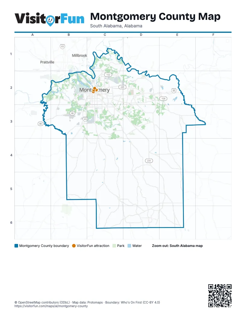
Street index of Montgomery County
Each street on the sheet and the grid squares it crosses.
- Northern BoulevardC2
- Montgomery Outer LoopE2
- Selma HighwayB3
Things to do on the Montgomery County map
Places on the map
- Alabama Agricultural Center
- Arrowhead Country Club
- Blount Cultural Park
- Capital City Motorsports Park
- Cottonwood Golf Club
- Cypress Tree Golf Club
- Froggy Bottom Pond
- Gateway Park
- Glovis America
- Kilby Correctional Facility
- Kilby Pit
- Kolomi
- Lagoon Park
- Lagoon Park Golf Course
- Lake Cameron
- Lower Catoma Bar
- Maxwell Air Force Base
- Meta Montgomery Data Center
- Mobis Alabama
- Montgomery
- Montgomery County
- Pike Road
- River Run
- The Shoppes at Eastchase
- Wynlakes Golf and Country Club
Next to Montgomery County
- Millbrook
- Prattville
© OpenStreetMap contributors (ODbL) · Map data: Protomaps · Boundary: Who's On First (CC-BY 4.0)