

Alabama map
Shelby County map
About 235,969 people live here (Census Bureau, 2024 estimate). The sheet's index lists Interstate Highway 65. Also on it: Alabaster, American Village and Beaver Lake.
Open the map (PDF, US Letter)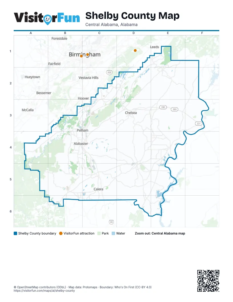
Street index of Shelby County
Each street on the sheet and the grid squares it crosses.
- Interstate Highway 65C5, C6
Places on the map
- Alabaster
- American Village
- Beaver Lake
- Beeswax Creek Park
- Blackridge Lake
- Bounds Lake
- Brantleyville
- Cahaba River Park
- Cahaba Shoals Loop
- Calera
- Calera Quarry
- Chelsea
- Columbiana
- Coosa River
- Double Oak Lake
- Dunnavant
- Eagle Point
- Earnest C Gaston Steam Plant
- Goat Island
- Greystone G&CC Legacy
- Greystone Golf & Country Club
- Harpersville
- Helena
- Helena Quarry
- Highland Lakes
- Hollybrook Lake
- Indian Springs Village
- Indian Valley Lake
- Industrial Parkway
- Inverness Center
- Kimberly Clark Lake
- Lake Purdy
- Limestone Park
- Longview Mine
- Lunker Lake
- Mannington Drive
- Maylene Quarry
- Meadowbrook
- Montevallo
- Montevallo Golf Course
Next to Shelby County
- Bessemer
- Birmingham
- Fairfield
- Forestdale
- Homewood
- Hoover
- Hueytown
- Irondale
- Leeds
- McCalla
- Mountain Brook
- Vestavia Hills
© OpenStreetMap contributors (ODbL) · Map data: Protomaps · Boundary: Who's On First (CC-BY 4.0)