

Arizona map
Yavapai County map
About 252,013 people live here (Census Bureau, 2024 estimate). Things to do inside the boundary: Apex Air Tours, Arcosanti and Bell Rock. Also on it: Agua Fria National Monument, Castle Creek Wilderness and Cedar Bench Wilderness.
Open the map (PDF, US Letter)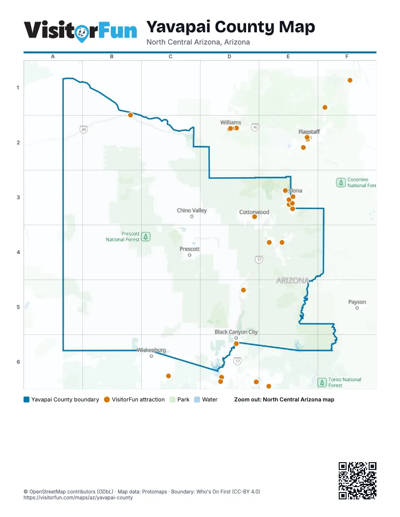
Things to do on the Yavapai County map
Places on the map
- Agua Fria National Monument
- Castle Creek Wilderness
- Cedar Bench Wilderness
- Cottonwood Airport
- Dead Horse Ranch State Park
- Granite Mountain Wilderness
- Hells Canyon Wilderness
- Juniper Mesa Wilderness
- Lake Pleasant Regional Park
- Mazatzal Wilderness
- Montezuma Castle National Monument
- Pine Mountain Wilderness
- Prescott National Forest
- Prescott National Forest Boundary
- Red Rock-Secret Mountain Wilderness
- Tres Alamos Wilderness
- Tuzigoot National Monument
- West Clear Creek Wilderness
- Wet Beaver Wilderness
- Woodchute Wilderness
Next to Yavapai County
- Flagstaff
- Payson
- Sedona
- Wickenburg
- Williams
© OpenStreetMap contributors (ODbL) · Map data: Protomaps · Boundary: Who's On First (CC-BY 4.0)