

California map
Santa Maria-Santa Barbara Metro Area map
The sheet's index lists 6 highways; US 101, CA 1 and CA 166 cross the most grid squares. Things to do inside the boundary: Condor Express, Santa Barbara Zoo and Brick Barn Wine Estate. Also on it: Goleta, Lompoc and Santa Barbara.
Open the map (PDF, US Letter)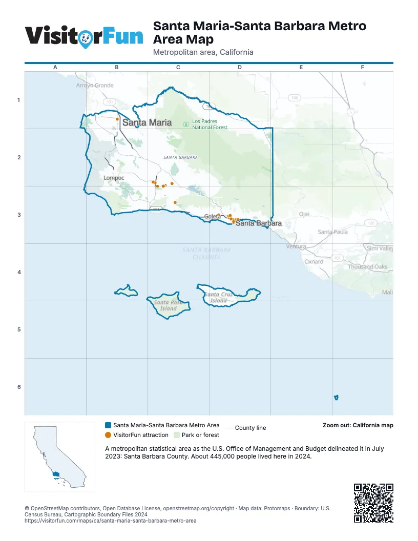
Highway index of Santa Maria-Santa Barbara Metro Area
Each highway on the sheet and the grid squares it crosses.
- US 101B1, B2, C2, C3, D3
- CA 1B2, B3, C3
- CA 135B1, B2
- CA 166B1, C1, D1
- CA 217D3
- CA 246B2
Things to do on the Santa Maria-Santa Barbara Metro Area map
- Condor Express
- Santa Barbara Zoo
- Brick Barn Wine Estate
- Cal Coast Adventures
- California Nature Art Museum
- Cat Therapy
- Circle Bar B Stables
- Downtown Santa Barbara
- Elverhoj Museum of History and Art
- Highline Adventures
- Land and Sea Tours
- New Frontiers Natural Marketplace
- Reagan Ranch Center
- Rusty's Pizza
- Santa Barbara Arts & Crafts Show
- Santa Barbara Historical Museum
- Santa Barbara Maritime Museum
- Santa Barbara Museum of Natural History
- Santa Barbara Urban Wine Trail
- Santa Barbara Waterfront
- Santa Barbara Wine Country Cycling Tours
- Santa Maria Valley
- Santa Ynez Valley Horseback Rides
- Skydive Santa Barbara
- Solvang Visitor Center
- Stardust Sportfishing
Places on the map
- Goleta
- Lompoc
- Santa Barbara
- Santa Maria
© OpenStreetMap contributors, Open Database License, openstreetmap.org/copyright · Map data: Protomaps · Boundary: U.S. Census Bureau, Cartographic Boundary Files 2024















