

Colorado map
Larimer County map
About 374,574 people live here (Census Bureau, 2024 estimate). The sheet's index lists Dwight D. Eisenhower Highway. Things to do inside the boundary: Loveland and The Stanley Hotel.
Open the map (PDF, US Letter)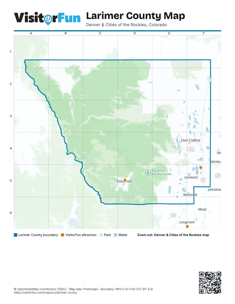
Street index of Larimer County
Each street on the sheet and the grid squares it crosses.
- Dwight D. Eisenhower HighwayF2, F3, F4, F5
Things to do on the Larimer County map
Places on the map
- Alluvial Fan
- Annex Reservoir Number 8
- Arapaho Bend Natural Area
- Bacon Lake
- Barnes Meadow Reservoir
- Bee Lake
- Belmont Ridge
- Berthoud
- Berthoud Reservoir
- Bison Ridge
- Bobcat Ridge Natural Area
- Boedecker Lake
- Boyd Lake
- Bud Mielke Reservoir
- Cache La Poudre Wilderness
- Campion
- Carter Lake Reservoir
- Cattail Chorus
- Centrepoint Business Park
- Chambers Lake
- Chimney Hollow Reservoir
- Clark Reservoir
- Claymore Lake
- Cobb Lake
- Colina Mariposa Natural Area
- College Lake
- Comanche Peak Wilderness
- Comanche Reservoir
- Cottonwood Hollow Natural Area
- Cottonwood Run Natural Area
- Coyote Ridge Natural Area
- Curtis Lake
- Dakota Ridge
- Demmel Lake
- Devils Backbone Open Space
- Dixon Reservoir
- Donath Lake
- Douglas Reservoir
- Dowdy Lake
- Drala Mountain Center
Next to Larimer County
- Johnstown
- Longmont
- Mead
- Windsor
© OpenStreetMap contributors (ODbL) · Map data: Protomaps · Boundary: Who's On First (CC-BY 4.0)