

Colorado map
Pioneering Plains map
The sheet's index lists 9 highways; I-70, US 385 and I-76 cross the most grid squares. Also on it: Akron, Burlington and Fort Morgan. 10 smaller maps sit inside it.
Open the map (PDF, US Letter)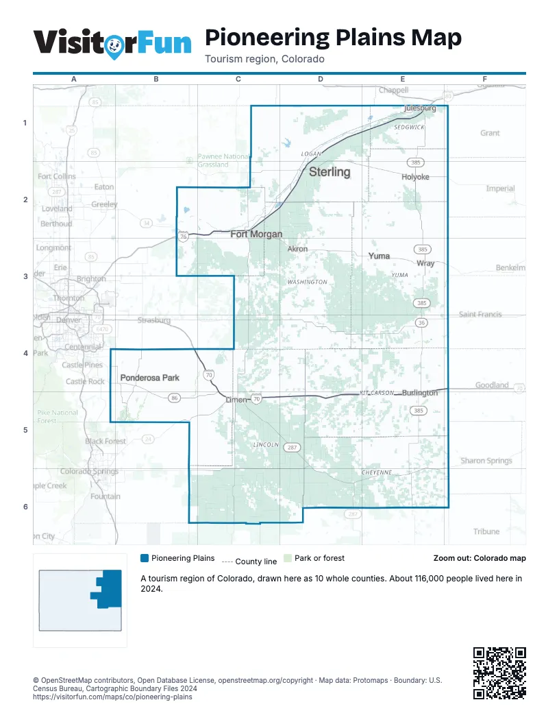
Highway index of Pioneering Plains
Each highway on the sheet and the grid squares it crosses.
- I-70B4, C4, C5, D5, E4, E5, F4
- I-76B2, C2, D1, D2, E1
- US 24B5, C5, E4, E5, F4
- US 34B2
- US 36E4
- US 40C5, D5, D6, E6
- US 287C5, D5, D6
- US 385E1, E2, E3, E4, E5, E6
- CO 86B4, B5, C5
Places on the map
- Akron
- Burlington
- Fort Morgan
- Holyoke
- Julesburg
- Limon
- Ponderosa Park
- Sterling
- Wray
- Yuma
Next to Pioneering Plains
- Canyons & Plains map
- Denver & Cities of the Rockies map
- Pikes Peak Wonders map
- Northwest Kansas
- Southwest Kansas
- Northwest Nebraska
- Southwest Nebraska
© OpenStreetMap contributors, Open Database License, openstreetmap.org/copyright · Map data: Protomaps · Boundary: U.S. Census Bureau, Cartographic Boundary Files 2024