

Florida map
Lee County map
About 860,959 people live here (Census Bureau, 2024 estimate). The sheet's index lists Terminal Access Road. Also on it: Airport Mitigation Park, Alva and Apple Blossom Drive.
Open the map (PDF, US Letter)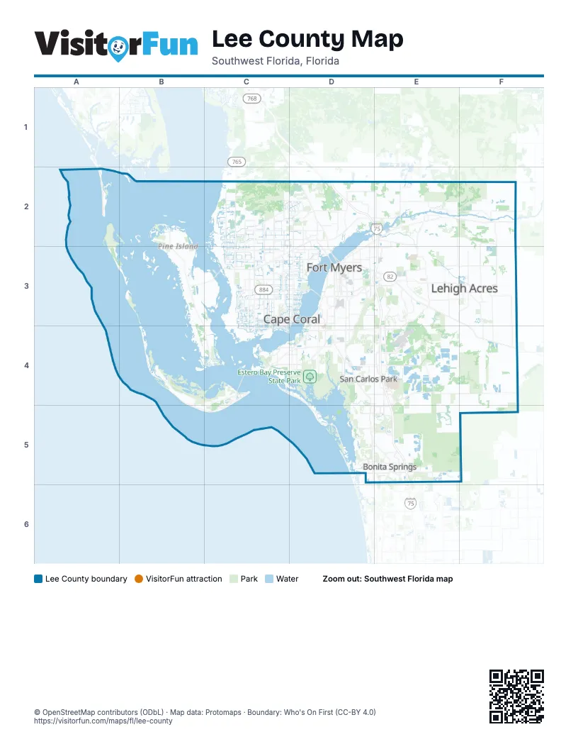
Maps inside Lee County
1 map inside, from the street map of Lee County down.
Street index of Lee County
Each street on the sheet and the grid squares it crosses.
- Terminal Access RoadE4
Places on the map
- Airport Mitigation Park
- Alva
- Apple Blossom Drive
- Babcock Ranch
- Barrier Island Geopark
- Beautiful Island
- Bell Tower Park
- Big Hickory Island Preserve
- Big Smokehouse Key
- Black Key
- Bob Janes Preserve
- Boca Beach
- Bokeelia
- Bonita Bay Club West
- Bonita Fairways Golf Course
- Bonita Springs
- Bowman's Beach
- Bowman's Beach Park
- Buck Key
- Buckingham
- Buckingham Trails Preserve
- Bunche Beach
- Burnt Store Golf Course
- Burnt Store Marina
- Caloosahatchee Regional Park
- Cape Coral
- Captiva
- Carver Preserve
- Chino Island
- Coconut Creek
- Coconut Point
- Colonial Country Club
- Copperleaf Golf Club
- Coral Oaks Golf Course
- Corkscrew Regional Ecosystem Watershed
- Corkscrew Shores Boulevard
- Costco construction site
- CREW Wildlife and Environmental Area
- Cypress Lake
- Cypress Lake Country Club
© OpenStreetMap contributors (ODbL) · Map data: Protomaps · Boundary: Who's On First (CC-BY 4.0)