

Florida map
Manatee County map
About 458,352 people live here (Census Bureau, 2024 estimate). The sheet's index lists Sunshine Skyway Bridge. Also on it: Anna Maria island, Bayshore Gardens and Bob Gardner Community Park.
Open the map (PDF, US Letter)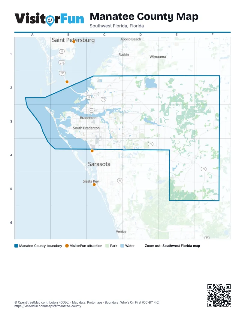
Street index of Manatee County
Each street on the sheet and the grid squares it crosses.
- Sunshine Skyway BridgeB2
Places on the map
- Anna Maria island
- Bayshore Gardens
- Bob Gardner Community Park
- Braden Woods
- Bradenton
- Bradenton Beach
- Buffalo Creek Golf Course
- Concession
- Copperstone Community
- Cortez
- Country Club East
- Cypress Links Course
- Del Webb
- Eastport
- Ellenton
- Esplanade at Azario
- Esplanade Golf & Country Club
- Freedom Factory
- Frog Creek
- Gopher Trail Loop
- Greenbrook
- Heritage Harbor Park
- Holmes Beach
- IMG Academy
- King's Dunes Course
- Lake Manatee
- Lake Manatee State Park
- Lake Patton
- Lake Uihlein
- Lakewood National Golf Club
- Lakewood Ranch
- Lena Road Landfill
- Manatee Power Plant
- Manatee River
- Marsh Island
- Memphis
- Moorhead Industrial Park
- Myakka Prairie Conservation Easements
- Palm Aire Country Club
- Palma Sola Bay
Next to Manatee County
- Apollo Beach
- Gulfport
- Nokomis
- Ruskin
- Saint Petersburg
- Sarasota
- Siesta Key
- Sun City Center
- Venice
- Wimauma
© OpenStreetMap contributors (ODbL) · Map data: Protomaps · Boundary: Who's On First (CC-BY 4.0)