

Florida map
Pasco County map
About 659,114 people live here (Census Bureau, 2024 estimate). The sheet's index lists Suncoast Parkway and Exit 282 (Overpass Road). Also on it: Abbot Square, Albritton Park and Aloha Gardens.
Open the map (PDF, US Letter)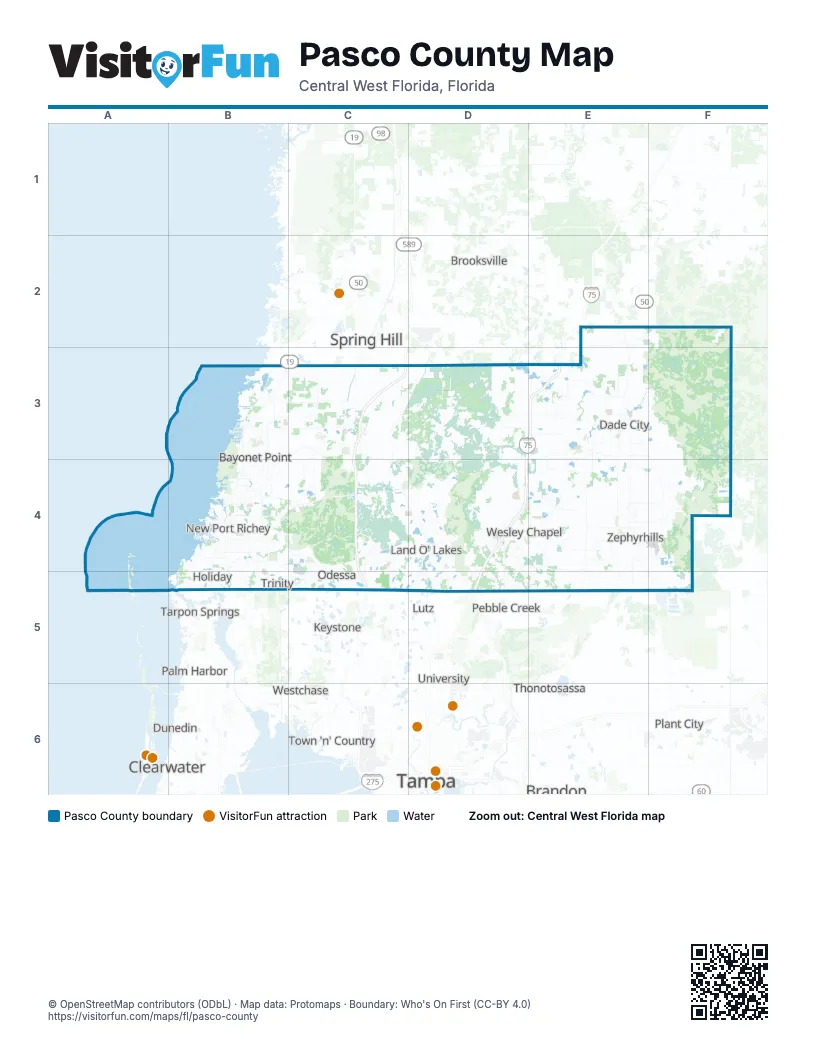
Street index of Pasco County
Each street on the sheet and the grid squares it crosses.
- Suncoast ParkwayC3, C4, C5
- Exit 282 (Overpass Road)D4
Places on the map
- Abbot Square
- Albritton Park
- Aloha Gardens
- Anclote Key Preserve State Park
- Anclote Reserve
- Anclote River Acres
- Angeline
- Arbor Woods
- Aristida
- Ashley Lakes
- Asturia
- Baileys Bluff Estates
- Ballentrae
- Bayonet Point
- Beacon Square
- Beacon Woods
- Beacon Woods East
- Beaconsfield
- Bear Creek
- Bell Lake
- Bellafield
- Bellamy Crossings
- Bird Lake
- Briar Oaks
- Briarwoods
- Bridgewater
- Bryant Square
- Buena Vista
- Carpenters Run
- Champion's Club
- Chapel Pines
- Chelsea Place
- Childers at Two Rivers
- Clayton Village
- Cobblestone
- Colonial Hills
- Concord Station
- Conner Preserve
- Connerton
- Copperspring
Next to Pasco County
- Brandon
- Brooksville
- Clearwater
- Dunedin
- East Lake
- Egypt Lake
- Keystone
- Lake Magdalene
- Leto
- Lutz
- Northdale
- Oldsmar
- Orient Park
- Palm Harbor
- Palm River
- Pebble Creek
- Plant City
- Safety Harbor
- Spring Hill
- Tampa map
- Tarpon Springs
- Temple Terrace
- Thonotosassa
- Town 'n' Country
- University
- Valrico
- Westchase
© OpenStreetMap contributors (ODbL) · Map data: Protomaps · Boundary: Who's On First (CC-BY 4.0)