

Iowa map
Des Moines Township map
About 213,096 people live here (Census Bureau, 2024 estimate). The sheet's index lists 40 streets; Dewberry Avenue, Ash Avenue and 240th Street cross the most grid squares. Also on it: Brethren Cemetery, Fell Cemetery and Winsell Cemetery.
Open the map (PDF, US Letter)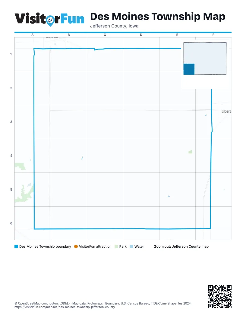
Street index of Des Moines Township
Each street on the sheet and the grid squares it crosses.
- 220th StreetA1, C1, D1, E1, F1
- 4th StreetA1
- Ash AvenueA1, A2, A3, A4, A5, A6
- Jefferson Wapello RoadA1, A2, A3, A4, A6
- Woodland StreetA1, B1
- 16th Avenue SouthwestC1
- Cedar AvenueC1, C2, C3
- Dewberry AvenueD1, D2, D3, D4, D5, C6, D6
- 226th StreetE1
- Episcia AvenueE1, E2, E3
- Fir AvenueE1, E2, E3, E4, E5
- Figtree AvenueF1, F2, F3
- 230th StreetB2, C2, D2, E2, F2
- Cresswood AvenueC2, B3, B4
- 229th StreetE2
- 240th StreetA3, B3, C3, D3, E3, F3
- 245th StreetA3, B3, C3
- 50th StreetA3
- Buckeye AvenueB3, B4
- CresswoodC3, C4
- Douds RoadF3, F4, F5, F6
- Elderberry BoulevardF3, E4, F4, D5
- 260th St BoulevardA4, B4
- 260th StreetA4
- 30th StreetA4
- 262th StreetB4, B5, C5
- Birch AvenueB4, B5
- 255th StreetC4, D4
- Clearwood AvenueC4, C5
- Elm AvenueD4, D5, D6
- 250th StreetF4
- 270th StreetA5, D5, F5
- 265th StreetC5, D5, E5
- CedarC5
- 278th StreetA6, B6
- Acorn AvenueA6
- 278th BoulevardC6
- Jefferson Van Buren StreetD6
- Emerald AvenueE6
- 275th StreetF6
Places on the map
- Brethren Cemetery
- Des Moines Township
- Fell Cemetery
- Winsell Cemetery
Next to Des Moines Township
- Libertyville
© OpenStreetMap contributors (ODbL) · Map data: Protomaps · Boundary: U.S. Census Bureau, TIGER/Line Shapefiles 2024