

Iowa map
Des Moines Township map
About 213,096 people live here (Census Bureau, 2024 estimate). The sheet's index lists 33 streets; Belfast Road, Argyle Road and Avenue of the Saints cross the most grid squares. Also on it: Amborn-Pagin Wildlife Area, Argyle City Hall and Argyle Memorial Garden.
Open the map (PDF, US Letter)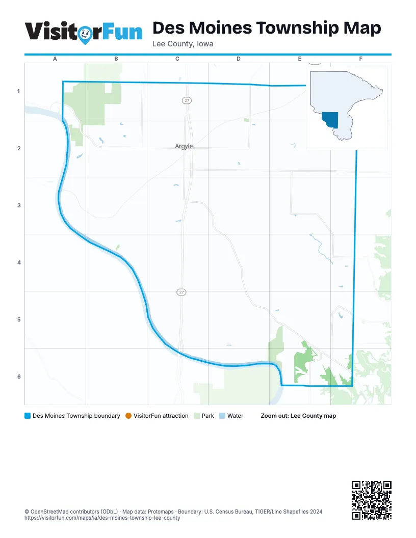
Street index of Des Moines Township
Each street on the sheet and the grid squares it crosses.
- 150th AvenueA1
- Belfast RoadA1, A2, B2, A3, B3, B4, B5, C5, C6
- 170th AvenueB1, B2
- 280th StreetB1, C1, E1
- 180th AvenueC1, C2, C3
- 285th StreetC1, D1
- Avenue of the SaintsC1, C2, C3, C4, C5, C6
- 195th AvenueD1, D2, D3, D4
- 208th AvenueE1, E2
- 213th AvenueE1
- 286th StreetE1
- 295th StreetB2, C2, D2
- 300th StreetB2, C2, D2, E2, F2
- 175th AvenueC2, C3, C4
- 179th AvenueC2
- 181st AvenueC2
- 182nd AvenueC2
- 294th StreetC2
- 190th AvenueD2, D3
- 290th StreetD2, E2
- 205th AvenueE2, E3
- Argyle RoadC3, D3, D4, D5, E5, E6, F6
- 310th StreetD3, E3
- 212th AvenueE3, E4, F4
- 320th StreetB4, C4, D4, F4
- 176th AvenueC4
- 177th AvenueC4
- 319th StreetC4
- White Plains RoadD4, E4, F4, F5
- 220th AvenueF4
- 340th StreetC5, D5, E5, C6
- 215th AvenueF5, F6
- Johnson Street RoadE6
Places on the map
- Amborn-Pagin Wildlife Area
- Argyle City Hall
- Argyle Memorial Garden
- Argyle Post Office
- Bryan Hill
- Des Moines Township
- Oakland Cemetery
© OpenStreetMap contributors (ODbL) · Map data: Protomaps · Boundary: U.S. Census Bureau, TIGER/Line Shapefiles 2024