

Iowa map
Des Moines Township map
About 213,096 people live here (Census Bureau, 2024 estimate). The sheet's index lists 11 streets; State Highway 2, Jersey Avenue and 285th Road cross the most grid squares. Also on it: Daughrity Timber, Lacey-Keosauqua State Park and Lake Sugema.
Open the map (PDF, US Letter)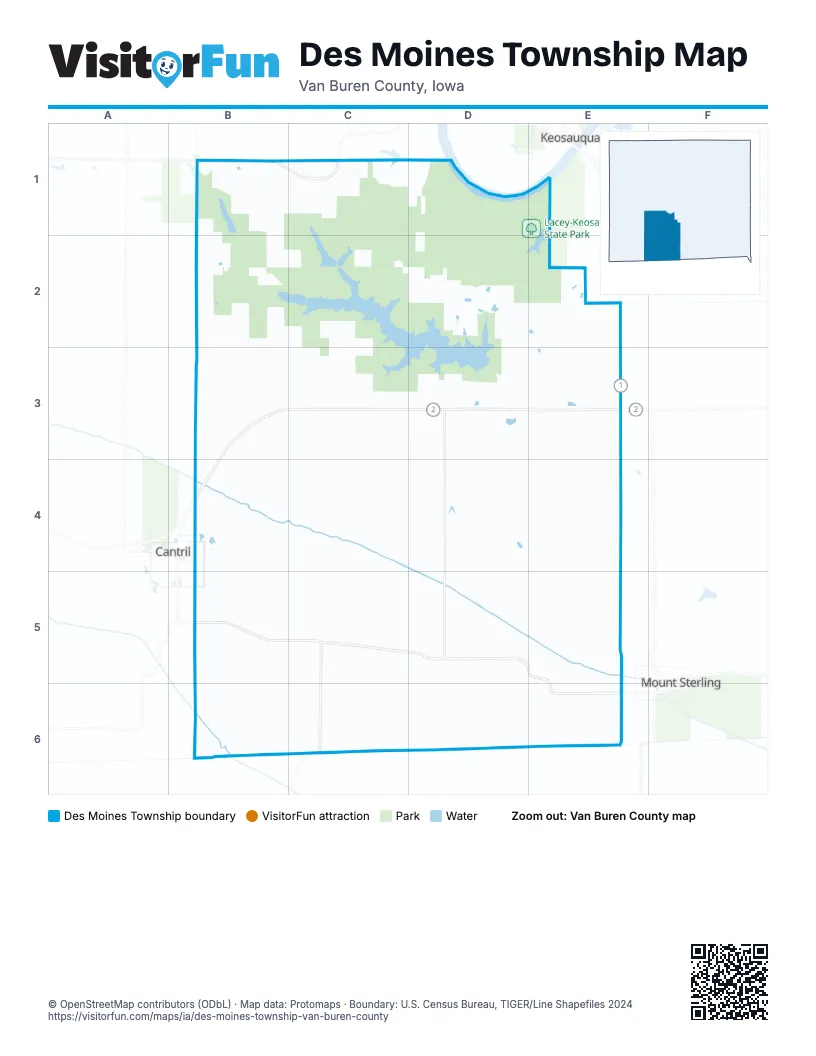
Street index of Des Moines Township
Each street on the sheet and the grid squares it crosses.
- Route J40B1, C1
- State Highway 2B3, C3, D3, E3, B4
- Jersey AvenueD3, D4, D5
- State Highway 1E3
- Gold AvenueB4
- 285th RoadB5, C5, D5
- County Highway J56B5
- Hickory AvenueC5, C6
- 290th RoadD5, E5, E6
- 305th StreetC6
- 295th StreetE6
Places on the map
- Daughrity Timber
- Des Moines Township
- Lacey-Keosauqua State Park
- Lake Sugema
- Lake Sugema Wildlife Management Area
- Shimek State Forest - Keosauqua Unit
Next to Des Moines Township
- Cantril
- Keosauqua
- Mount Sterling
© OpenStreetMap contributors (ODbL) · Map data: Protomaps · Boundary: U.S. Census Bureau, TIGER/Line Shapefiles 2024