

Iowa map
Iowa Township map
About 76,710 people live here (Census Bureau, 2024 estimate). The sheet's index lists 26 streets; Garfield Avenue, Atalissa Road and Indian Avenue cross the most grid squares. Also on it: Bethel Cemetery, Burnett Cemetery and CAT Scale.
Open the map (PDF, US Letter)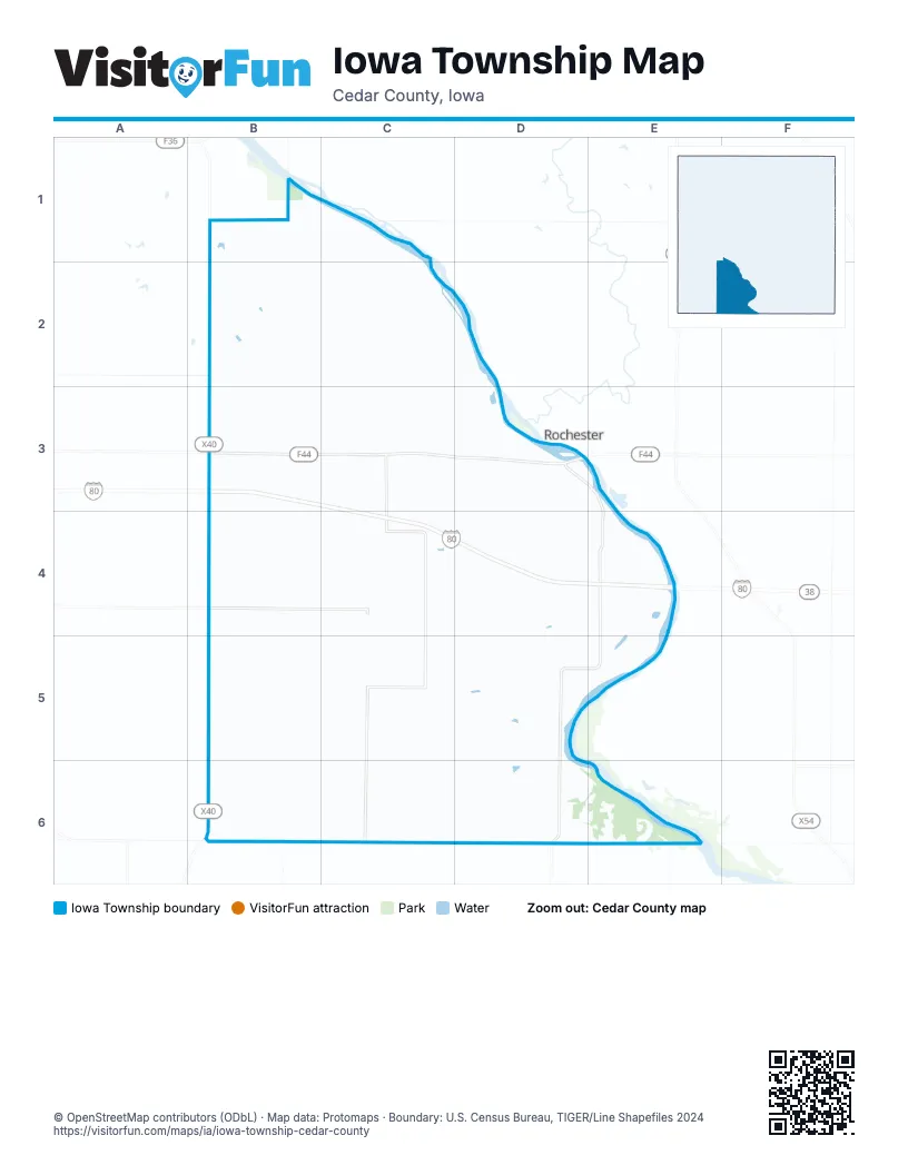
Street index of Iowa Township
Each street on the sheet and the grid squares it crosses.
- Garfield AvenueB1, B2, B3, B4, B5, B6
- Garfield RoadB1, C1, C2
- 280th StreetB2, C2
- Grant AvenueB2
- 225th StreetC2
- 270th StreetC2
- Hayes AvenueC2, C3, C6
- Indian AvenueC2, C3, C4, C5, C6
- Ivory AvenueC2, C3, C4, C5, C6
- West Rochester AvenueD2, D3
- 290th StreetB3, C3, D3
- Koa DriveB3
- 295th StreetC3
- 297th StreetC3, C4
- Inca AvenueC3, C4
- Atalissa RoadD3, E3, E4, D5, E5, D6
- 300th StreetB4, C4
- 310th StreetB4, C4, D4, E4
- 305th StreetC4, D4, E4
- Johnson RoadD4
- Kelly AvenueD4
- 320th StreetB5, C5, D5
- Jefferson AvenueD5, D6
- 330th StreetB6, C6
- Cedar Muscatine County Line RoadB6, C6, D6
- Harding AvenueB6
Places on the map
- Bethel Cemetery
- Burnett Cemetery
- CAT Scale
- Gray's Ford Cemetery
- North Liberty Cemetery
- ONE9
- ONE9 Travel Center
- Pee Dee Cemetery
- William Maxon's Home Memorial
Next to Iowa Township
- Rochester
© OpenStreetMap contributors, Open Database License, openstreetmap.org/copyright · Map data: Protomaps · Boundary: U.S. Census Bureau, TIGER/Line Shapefiles 2024