

Iowa map
Pocahontas County map
About 7,006 people live here (Census Bureau, 2024 estimate). The sheet's index lists 43 streets; 220th Avenue, 520th Street and 570th Street cross the most grid squares. Also on it: Bellville Township, Birke Wildlife Area and Brabec Farms Wetland Area.
Open the map (PDF, US Letter)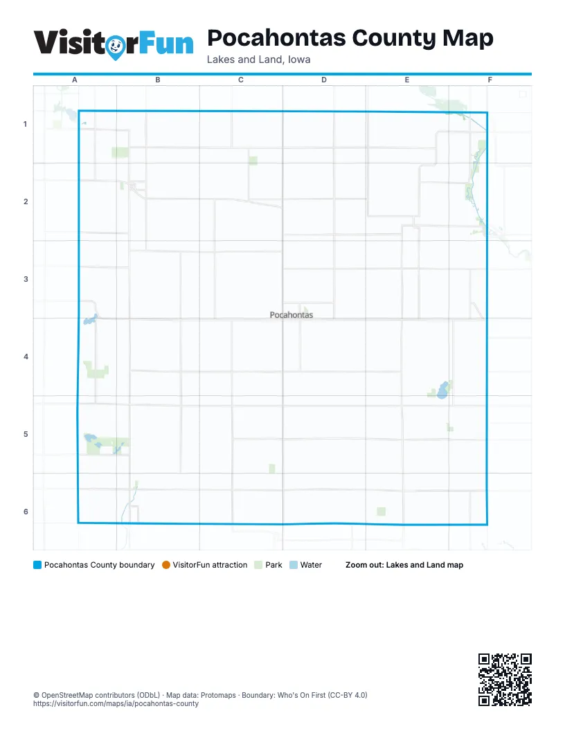
Maps inside Pocahontas County
1 map inside, from the street map of Pocahontas County down.
Street index of Pocahontas County
Each street on the sheet and the grid squares it crosses.
- 140th AvenueB1, B2
- 380th AvenueB1
- 420th StreetB1, C1, D1, E1
- 220th AvenueD1, D2, D3, D4, D5, D6
- 250th AvenueD1, D2
- 460th AvenueD1
- 490th AvenueD1
- County Road N57D1
- 310th AvenueE1
- 410th StreetE1, F1
- State Highway 15E1, E2
- 440th StreetA2, B2
- 460th StreetA2, E2
- 130th AvenueB2, B3, B4, B5, B6
- 450th StreetB2, C2, D2, E2
- South Rush Lake RoadB2
- State Highway 10B2
- Cummins RoadC2, D2
- 270th AvenueE2
- 290th AvenueE2, E3, E4, E5, E6
- 300th AvenueE2
- 430th StreetE2
- 465th StreetE2, F2
- Broad StreetE2
- Garfield StreetE2
- Arizona AvenueF2, F3
- 110th AvenueA3
- 490th StreetA3, B3
- 530th StreetA3
- State Highway 3A3, A4
- 480th StreetB3, C3, D3
- Northwest 7th StreetD3, D4
- 520th StreetA4, B4, C4, D4, E4, F4
- West Elm AvenueC4, D4
- East Elm AvenueD4
- Southwest 7th StreetD4
- 570th StreetA5, B5, C5, D5, E5, F5
- 590th StreetA5, D5, E5
- La-Salle StreetD5
- 620th StreetA6, B6, C6, D6, E6, F6
- Marengo AvenueD6
- Tabor AvenueE6
- 140th StreetF6
Places on the map
- Bellville Township
- Birke Wildlife Area
- Brabec Farms Wetland Area
- Cedar Township
- Center Township
- Clear Lake
- Colfax Township
- Crotty Wetland Area
- Cummins Township
- Des Moines Township
- Dover Township
- Fonda
- Fonda Golf Course
- Garfield Township
- Grant Township
- Hansen Breon Wetland Site
- Havelock
- Kaslow Prairie State Preserve
- Lake Township
- Laurens
- Laurens Golf and Country Club
- Leo Shimon Marsh Wildlife Management Area
- Lincoln Township
- Lizard Lake
- Lizard Lake Wildlife Management Area
- Lizard Township
- Lizzard Creek Wildlife Area
- Marshall Township
- Martin Wildlife Area
- Miller's Wildlife Area
- Palmer
- Pilot Creek Wildlife Area
- Plover
- Plover Waterfowl Production Area
- Pocahontas
- Pocahontas County
- Pocahontas Golf Club
- Pocahontas Municipal Airport
- Pocohontas County Waterfowl Production Area
- Post Prairie and Wetland
© OpenStreetMap contributors (ODbL) · Map data: Protomaps · Boundary: Who's On First (CC-BY 4.0)