

Idaho map
Canyon County map
About 266,892 people live here (Census Bureau, 2024 estimate). The sheet's index lists Vietnam Veterans Memorial Highway and Idaho Medal of Honor Highway. Things to do inside the boundary: AgVenture Trail.
Open the map (PDF, US Letter)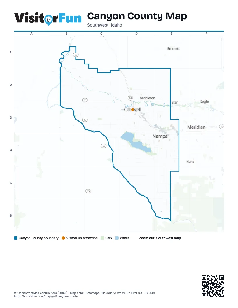
Street index of Canyon County
Each street on the sheet and the grid squares it crosses.
- Vietnam Veterans Memorial HighwayD1, D2, D3, E3
- Idaho Medal of Honor HighwayD3
Things to do on the Canyon County map
Places on the map
- Amalgamated Sugar Company
- Aspens
- Bates Addition
- Belmont Heights
- Benchmark Estates
- Blackhawk
- Bowmont
- Brandt's Landing
- Bridgewater Estates
- Brookdale Estates
- Caldwell
- Canyon County
- Canyon County Landfill
- Carriage Hill North
- Carriage Hill West
- Centennial Golf Course
- Copper River Basin
- Deer Flat National Wildlife Refuge
- Delaware Park
- Fall River
- Franklin Village
- Franklin Village North
- G & B Redi-Mix
- Greenleaf
- Happy Valley Park
- Hardy Estates
- Huston
- Indian Creek Mobile Home Park
- Kensington Place
- Kestrel Estates
- Kinghorn Place
- Lake Lowell
- Lava Springs
- Lexington Meadows
- Manchester Park
- Mandalay Ranch
- Melba
- Middle Creek
- Middleton
- Middleton Lakes
Next to Canyon County
- Eagle
- Emmett
- Kuna
- Meridian
- Star
© OpenStreetMap contributors (ODbL) · Map data: Protomaps · Boundary: Who's On First (CC-BY 4.0)