

Illinois map
Madison County map
About 263,017 people live here (Census Bureau, 2024 estimate). The sheet's index lists 6 streets; Godfrey Road, Alton Bypass and New Chain of Rocks Bridge cross the most grid squares. Things to do inside the boundary: World's Largest Catsup Bottle.
Open the map (PDF, US Letter)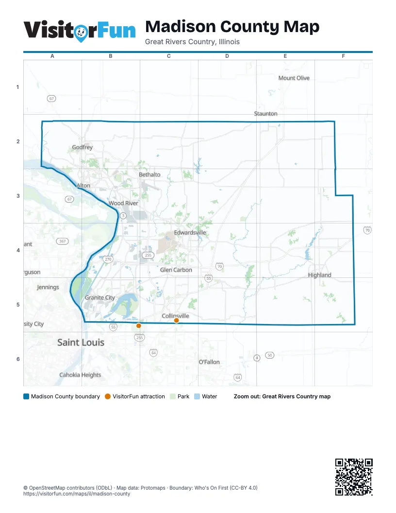
Street index of Madison County
Each street on the sheet and the grid squares it crosses.
- Godfrey RoadA2
- Alton BypassC3
- New Chain of Rocks BridgeB4
- I-70F4
- Interstate 255C5
- US Highway 40D5
Things to do on the Madison County map
Places on the map
- Alhambra
- Alton
- Alton Mental Health Center
- Alton Steel Inc.
- Alton Yard
- Arlington Greens Golf Course
- Belk Park Golf Course
- Bethalto
- Bethalto Sports Complex
- Beverly Farm
- Bohm Woods Nature Preserve
- Collinsville
- Dunlap Lake
- East Alton
- Edwardsville
- Gabaret Slough
- Glen Carbon
- Godfrey
- Gordon F. Moore Community Park
- Granite City
- Granite City Slag
- Grantfork
- Hamel
- Hartford
- Highland
- Highland Country Club
- Historic Leclaire District
- Holiday Lake
- Horseshoe Lake State Park
- Livingston
- Long Lake
- Madison
- Madison County
- Marine
- Maryville
- McDonough Lake
- Mosenthein Island
- New Douglas
- North Plant
- NS AO Smith Yard
Next to Madison County
- Cahokia Heights
- East Saint Louis
- Fairview Heights
- Ferguson
- Jennings
- Mount Olive
- O'Fallon
- Saint Louis
- Staunton
- University City
© OpenStreetMap contributors (ODbL) · Map data: Protomaps · Boundary: Who's On First (CC-BY 4.0)