

Louisiana road map
Creole Nature Trail map
The Creole Nature Trail has been an All-American Road since 2002, named for its cultural and natural qualities: about 170 miles in Louisiana. It meets 17 highways, among them US 90, US 171 and LA 14. Towns along it: Lake Charles and Sulphur.
Open the map (PDF, US Letter)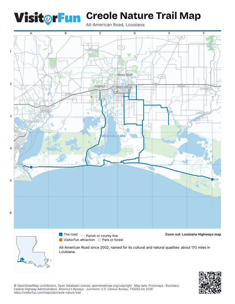
Highways it meets
Each highway it meets and the grid squares where they meet.
- LA 82A5
- LA 14E3
- LA 27D3
- LA 397D3
- LA 384D3
- LA 1142C4
- LA 1141C4
- LA 390C3
- LA 1133C3
- LA 108C3
- LA 1256C2
- LA 3186C2
- LA 3020D2
- US 90D2
- LA 385D2
- LA 3092D3
- US 171D2
Towns along the Creole Nature Trail
In mile order, with the grid square of each.
- Hayesmile 44, E3
- Cameronmile 83, D4
- Hackberrymile 111, C4
- Carlyssmile 127, C3
- Sulphurmile 132, C2
- Lake Charlesmile 132, C2
Things to do on the Creole Nature Trail map
© OpenStreetMap contributors, Open Database License, openstreetmap.org/copyright · Map data: Protomaps · Boundary: Federal Highway Administration, America's Byways · Junctions: U.S. Census Bureau, TIGER/Line 2026















