

Maryland map
Harford County map
About 265,514 people live here (Census Bureau, 2024 estimate). The sheet's index lists John F. Kennedy Memorial Highway and Express Toll Lanes. Also on it: Aberdeen, Aberdeen Logistics Center and Aberdeen Proving Ground.
Open the map (PDF, US Letter)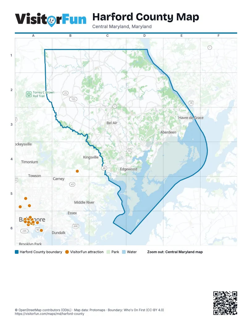
Street index of Harford County
Each street on the sheet and the grid squares it crosses.
- John F. Kennedy Memorial HighwayE2, D3, E3, C4, D4
- Express Toll LanesC4
Places on the map
- Aberdeen
- Aberdeen Logistics Center
- Aberdeen Proving Ground
- Abingdon
- Abingdon Reserve
- Abingdon Woods
- Ace Logistics Center
- Airbase Loop Road
- Amyclae
- Amyclae East
- Apartments at Bel Air
- Atkisson Reservoir
- Bel Air
- Bel Air Auto Auction
- Bel Air North
- Bel Air South
- Box Hill North
- Box Hill South
- Brierhill Estates
- Bright Oaks
- Broad Creek
- Broad Creek Memorial Scout Reservation
- Broadview
- Bulle Rock Golf Club
- Bush Farm
- Bush River
- Bynum Run Conservation Area
- Camelot
- Camp Wo-Me-To
- Canal Creek
- Cedarday
- Chapel Road Park
- Christopher's Camp
- Churchville Quarry
- Churchville Recreation Complex
- Churchville Test Area
- Cokesbury Manor
- Colonial Acres
- Constant Friendship
- Constant Friendship Estates
Next to Harford County
- Baltimore map
- Brooklyn Park
- Carney
- Cockeysville
- Dundalk
- Essex
- Kingsville
- Middle River
- Perry Hall
- Rosedale
- Rossville
- Timonium
- Towson
© OpenStreetMap contributors (ODbL) · Map data: Protomaps · Boundary: Who's On First (CC-BY 4.0)